| Back to the previous photograph | |
|
| |
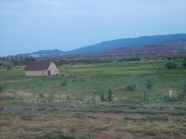
 The view from my window in Torrey. Presumably this is the town whose canyon gave its name to the tanker which sank off the Cornish coast in 1967. I don't know why anybody would name a tanker after this place though; there don't seem to be any oilfields around here. The last 11 miles of today's ride, from the visitor centre to here, were very hard work and I walked for a lot of the way. The elevation profile on the Western Express map showed that it would be about as steep as the preceeding 10 miles. It seemed much steeper and went up and down quite a lot so I kept losing all the height I gained on the climbs. A rather stiff headwind had also appeared while I was at the visitor centre. I'm losing confidence in the elevation profiles. They seem to show quite good detail of the shape of the land but the text says that they don't show the real small hills. It seems that somebody has just taken the altitudes of a few points along the route and drawn a wiggly line through them. The line wasn't even horizontal at the point labelled as the Cerro Summit, where I was a few days ago. According to the profile, the road passes through the summit and keeps going up! I shouldn't be surprised that today was hard work as I did do what was meant to be 2 days's rides, meaning that I've made up the time lost in Moab and am on schedue again. Unfortunately, I won't be for long. This time it's not because of the weather, the hills, the bike or my lack of fitness but because, like an idiot, I've booked a hotel for tomorrow in the wrong town! It will be the most expensive room I've had since Indianapolis and I can't cancel it without incurring a penalty so I'm going to go there and find out what's so good about it. It's not part of a chain and the woman who I spoke to on the phone seemed very friendly. I'll only be going 40 miles tomorrow then, to Boulder, instead of 65 to Escalante. At least the section of the intended ride which I will be doing tomorrow is the hard part, over that mountain in the picture. The section which I will have to tack onto the start of Friday's ride shouldn't be too taxing. UTC Time: 02:14, Thursday 02 August 2007 Local Time: 20:14, Wednesday 01 August 2007 Estimate of longitude: 111° 24' 23.91" W = -111.406643° Estimate of latitude: 38° 17' 54.20" N = 38.298388° Possible error on position estimate: 10 metres | |