| Back to the previous photograph | |
|
| |
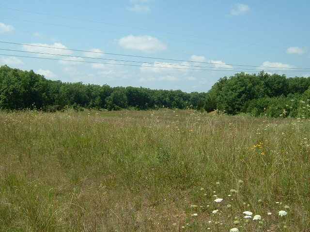
 There used to be a motorway running through here. Google's aerial photograph shows traffic still using it while the new alignment was constructed. Parts of route 66 were re-aligned several times but here the replacement interstate has been too. Somewhere in the process, all the bicycle-accessible incarnations have been lost so I'll have to resort to the gravel back roads again for a few miles. UTC Time: 16:53, Monday 16 July 2007 Local Time: 11:53, Monday 16 July 2007 Estimate of longitude: 91° 56' 31.55" W = -91.942096° Estimate of latitude: 37° 56' 16.49" N = 37.937915° Possible error on position estimate: 200 metres | |