| Back to the previous photograph | |
|
| |
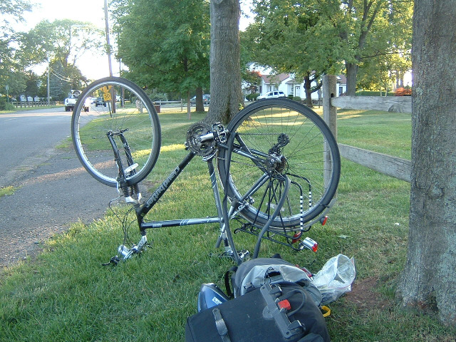
 The Adventure Cycling Association provides maps of its routes. I've been following the so-called New York City spur. The maps are at a pretty small scale, so that they aren't too heavy to carry, but have a detailed description of every turn you should take. Unfortunately, it said that you stay on this road for about 1 km when it's actually more than 3. I ended up going back to see if I had missed the turning then, when I came back along the road for a third time, something burst my tyre. UTC Time: 23:37, Monday 02 July 2007 Local Time: 19:37, Monday 02 July 2007 Estimate of longitude: 74° 28' 46.39" W = -74.479553° Estimate of latitude: 40° 34' 25.72" N = 40.573812° Possible error on position estimate: 500 metres | |