| Back to the previous photograph | |
|
| |
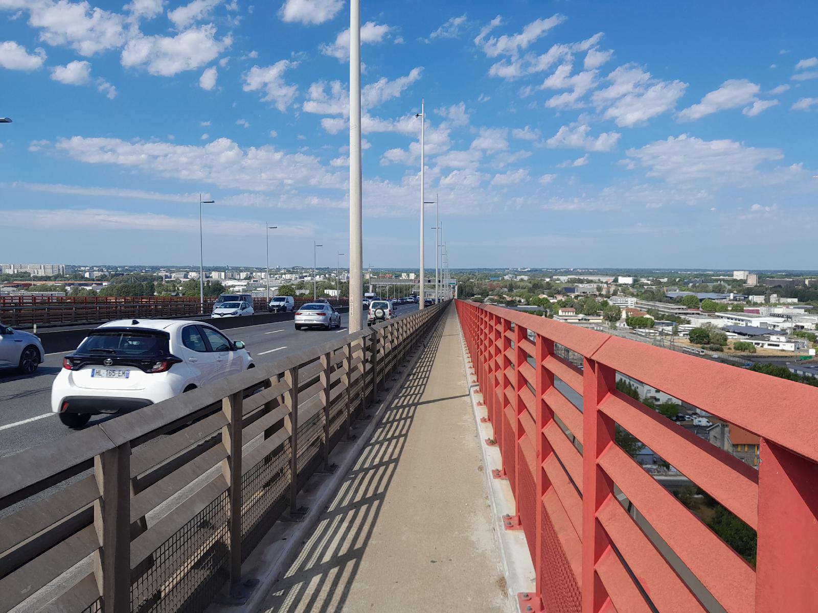 Looking back down. The land is higher on one side of the River Garonne than on the other so the bridge has this long ramp on the West side but hardly anything on the East. Normally this path is for downhill bike traffic only and I would be on the path on the South side but that's closed at the moment so we're sharing this one. UTC Time: 10:29, Monday 24 August 2026 Local Time: 12:29, Monday 24 August 2026 Estimate of longitude: 0° 32′ 26.48″ W = -0.540690° Estimate of latitude: 44° 52′ 50.56″ N = 44.880710° Possible error on position estimate: 5 metres | |