| Back to the previous photograph | |
|
| |
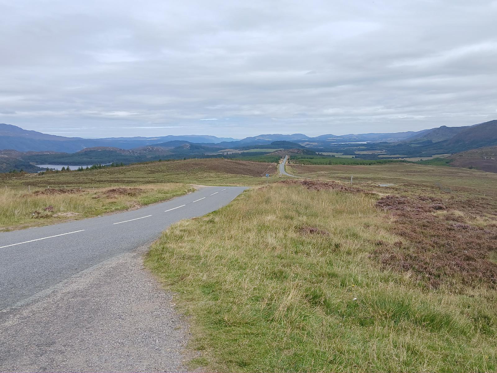 I'm now at the summit of the road, at a height of 392 metres. That's about 70 metres higher than Shap and about 50 metres higher than Rannoch Moor. What I've just done was definitely the longest climb of the trip because I came up from Fort Augustus, which is close to sea level. On the days when I climbed to Shap and Rannoch Moor, I started the day already at a significant altitude. UTC Time: 10:35, Saturday 23 August 2025 Local Time: 11:35, Saturday 23 August 2025 Estimate of longitude: 4° 33′ 52.20″ W = -4.564500° Estimate of latitude: 57° 9′ 34.31″ N = 57.159530° Possible error on position estimate: 5 metres | |