| Back to the previous photograph | |
|
| |
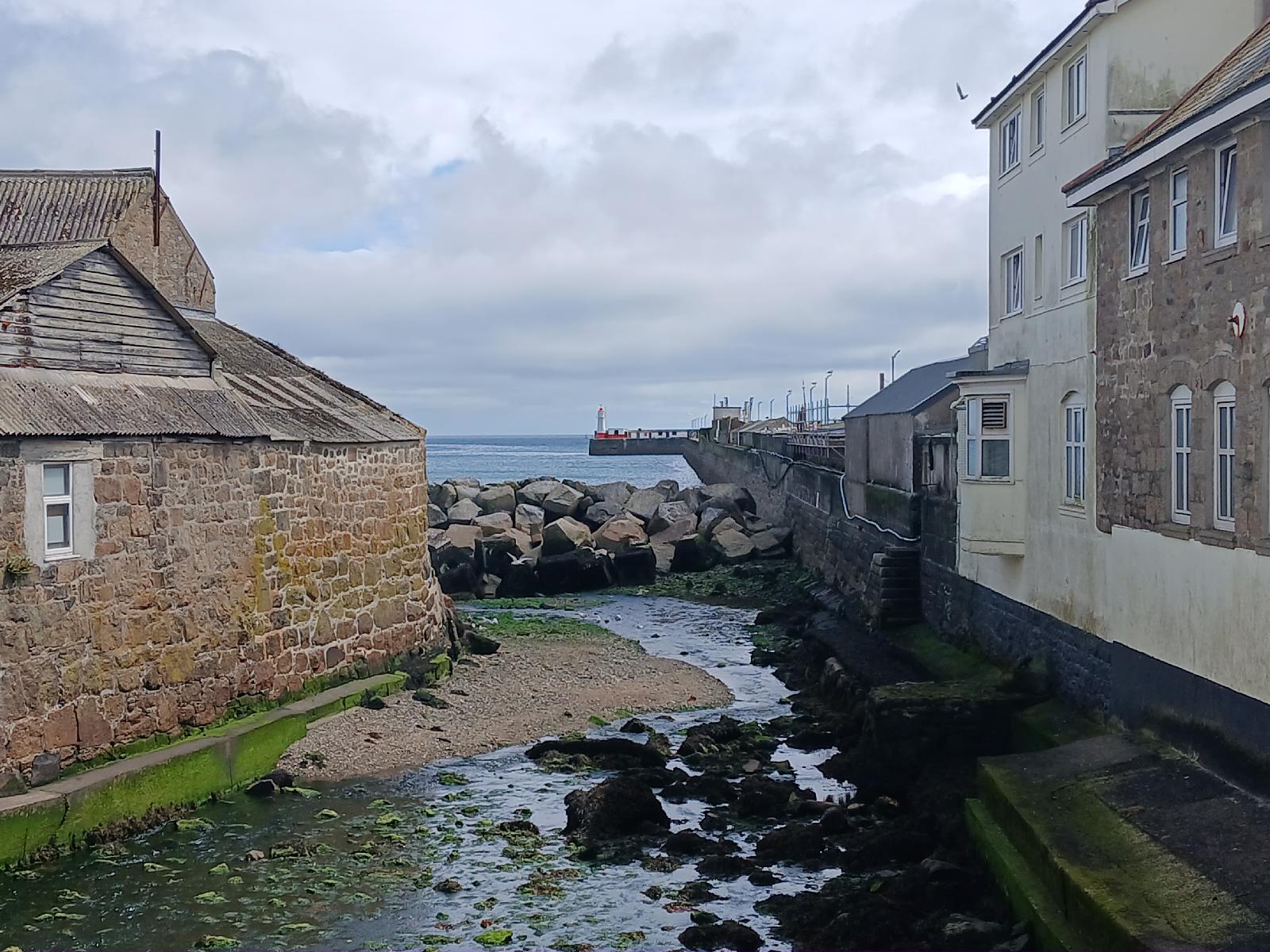 Looking along Newlyn harbour wall. The small red and white hut at the base of the lighthouse contains Britain's official sea level marker. Specifically, sea level is defined to be 4.751 metres below a brass bolt which is in there. UTC Time: 13:16, Thursday 31 July 2025 Local Time: 14:16, Thursday 31 July 2025 Estimate of longitude: 5° 32′ 57.66″ W = -5.549350° Estimate of latitude: 50° 6′ 23.47″ N = 50.106520° Possible error on position estimate: 5 metres | |