| Back to the previous photograph | |
|
| |
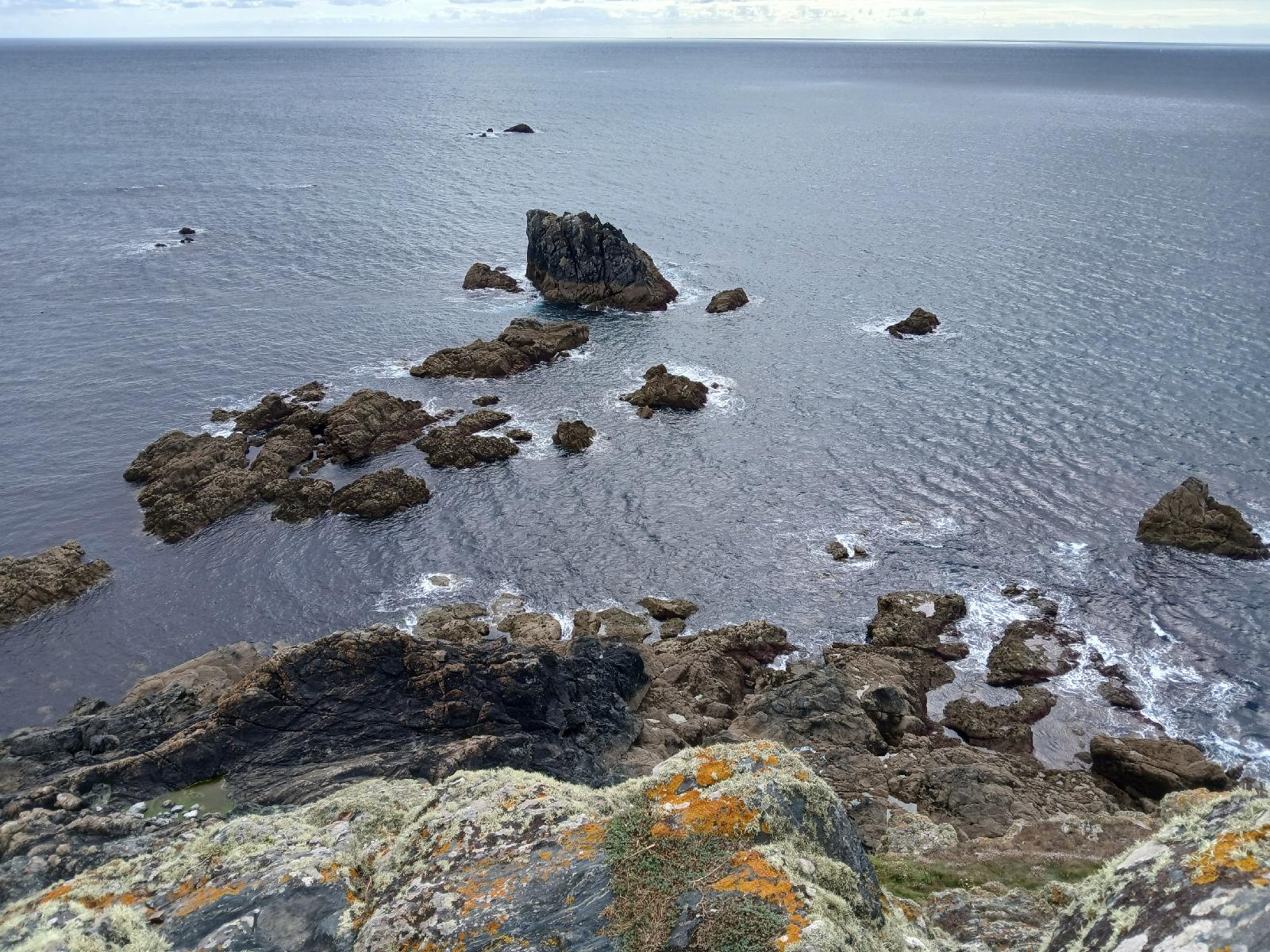 The situation here is a bit complicated to explain because it chages with the tide. There are some rocks at Lizard Point which extend southwards into the sea. From the southern end of those rocks, there are uninterrupted runs across the sea to Gwennap Head in the West and all the way to Beachy Head in Sussex in the East. At low tide, those rocks are joined onto the mainland so they could be treated as part of Great Britain. In that case, they are the only point on this peninsular which the rubber band touches, and are the extreme point on all bearings from 165 to 194 degrees. However at high tide those rocks become islands. If the rubber band pings off them and instead settles on what is then the southernmost tip of Lizard point, then it also touches the coast in three other places, one of which is here. The rocks down there do not seem to have a name but at high tide, those of them which are still above water become the extreme point on bearings from 193 to 194 degrees. UTC Time: 15:44, Friday 01 August 2025 Local Time: 16:44, Friday 01 August 2025 Estimate of longitude: 5° 12′ 55.01″ W = -5.215280° Estimate of latitude: 49° 57′ 36.18″ N = 49.960050° Possible error on position estimate: 5 metres | |