| Back to the previous photograph | |
|
| |
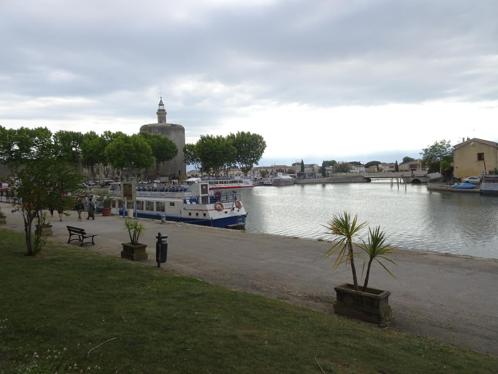 It is sometimes claimed that when Aigues-Mortes bult, around 1270, was originally a sea port which is now about 5 km inland because of deposition of silt in the Rhône delta. However it appears that that is not true and that the town was always on a stagnant lake, connected to the sea by a canal. UTC Time: 16:19, Thursday 18 May 2023 Local Time: 18:19, Thursday 18 May 2023 Estimate of longitude: 4° 11' 30.52" E = 4.191810° Estimate of latitude: 43° 34' 9.55" N = 43.569320° Possible error on position estimate: 10 metres | |