| Back to the previous photograph | |
|
| |
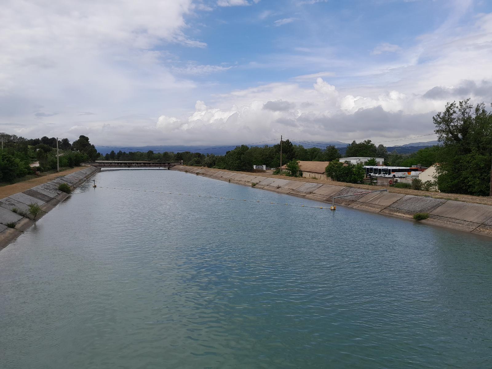 This is the Durance Canal, operated by the energy company EDF. It begins at an altitude of 656 metres and descends to sea level through a series of hydroelectric power stations spread along its 250 km length. UTC Time: 13:25, Thursday 18 May 2023 Local Time: 15:25, Thursday 18 May 2023 Estimate of longitude: 5° 21' 50.22" E = 5.363950° Estimate of latitude: 43° 42' 31.50" N = 43.708750° Possible error on position estimate: 5 metres | |