| Back to the previous photograph | |
|
| |
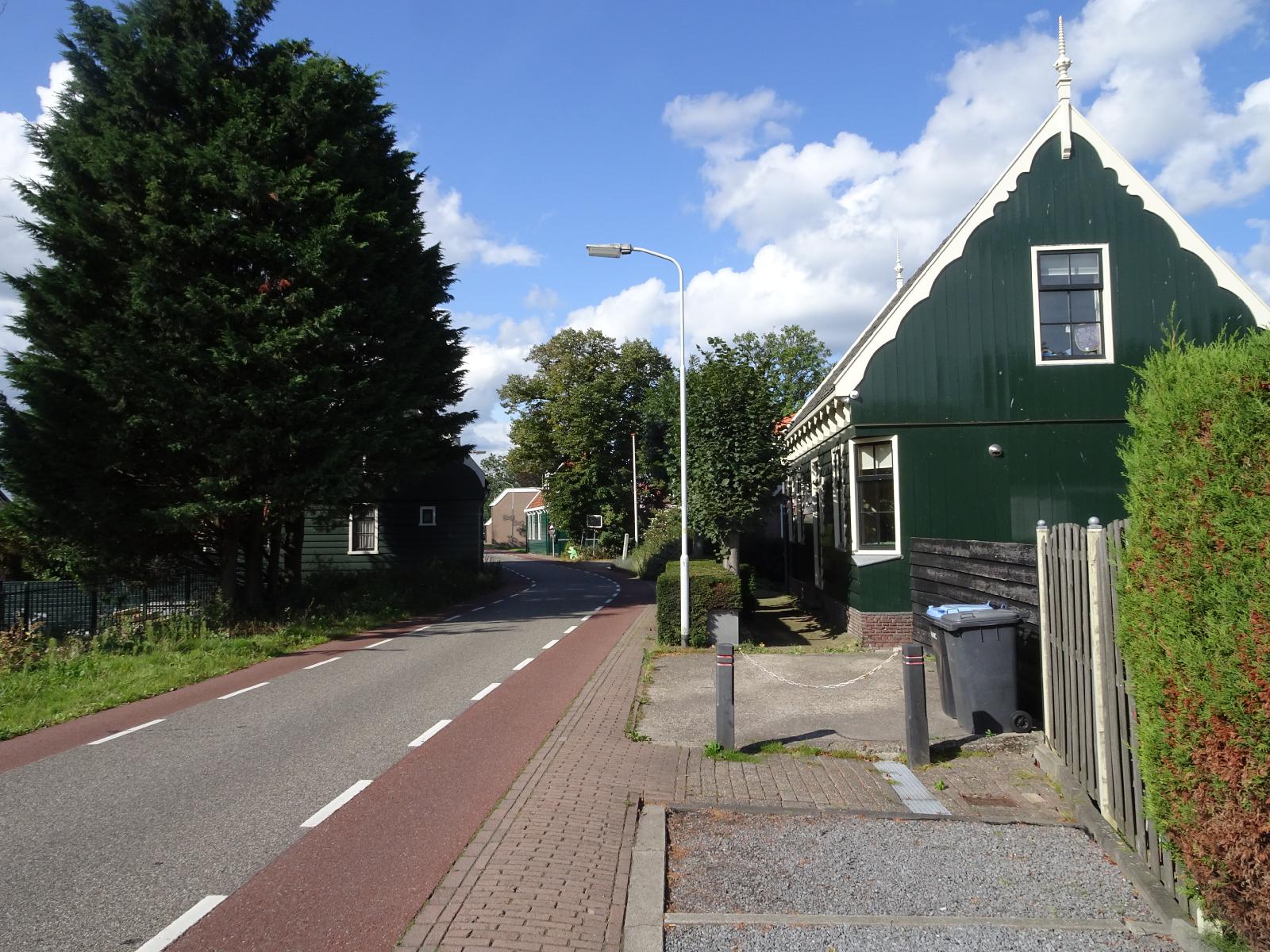 This is one of those roads which run along the tops of of flood defences. UTC Time: 09:20, Monday 09 September 2019 Local Time: 11:20, Monday 09 September 2019 Estimate of longitude: 4° 47' 8.84" E = 4.785790° Estimate of latitude: 52° 25' 51.89" N = 52.431080° Possible error on position estimate: 10 metres | |