| Back to the previous photograph | |
|
| |
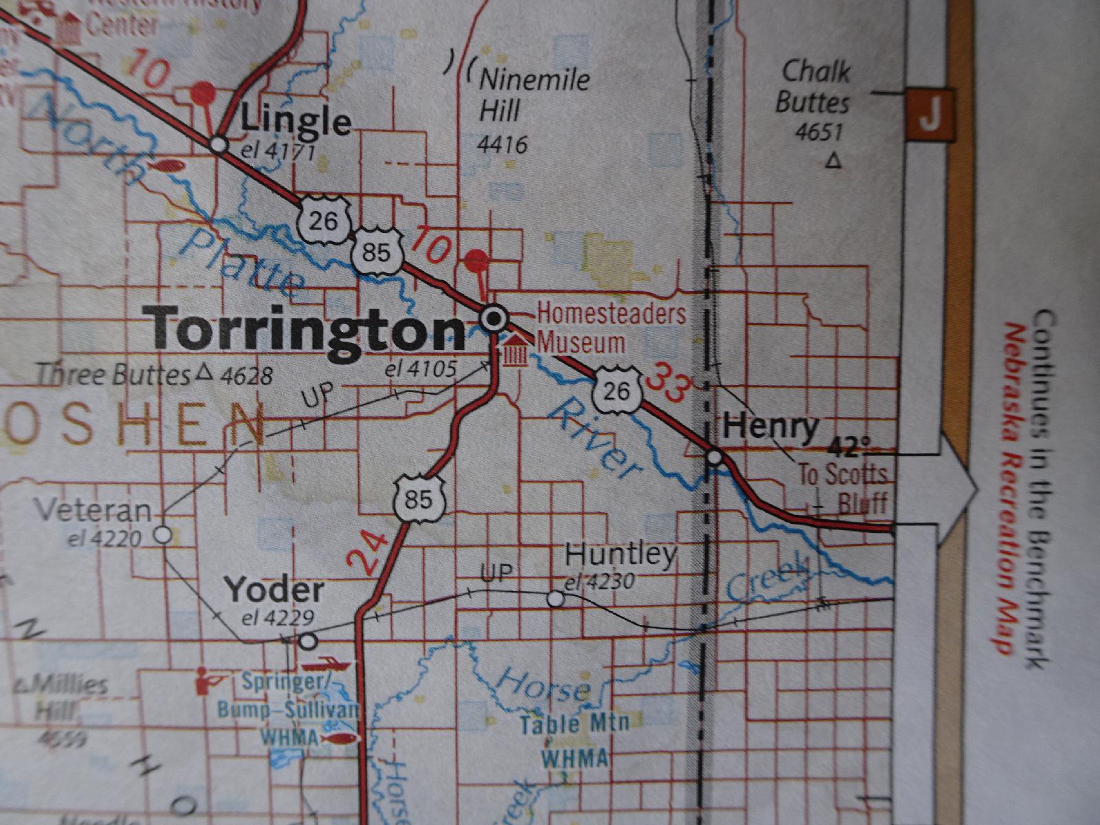 It's been several years since I've taken paper maps on these trips but I happened to see maps of both Oregon and Wyoming in shops and I've quite liked having them. There's not much point in taking this map with me today though. It's just a straight road for about 13 km from here to the state boundary at Henry. UTC Time: 13:44, Wednesday 16 August 2017 Local Time: 07:44, Wednesday 16 August 2017 Estimate of longitude: 104° 11' 6.18" W = -104.185050° Estimate of latitude: 42° 3' 39.89" N = 42.061080° Possible error on position estimate: 100 metres | |