| Back to the previous photograph | |
|
| |
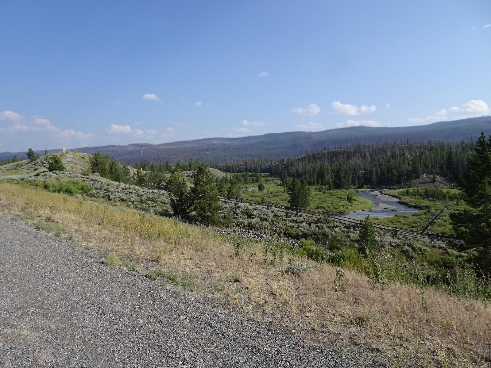 The rock on top of the hill on the left is the Tie Hack Memorial, commemorating the people who used to cut down trees and then float the logs dowh the river to be used as railway sleepers. UTC Time: 23:22, Thursday 10 August 2017 Local Time: 17:22, Thursday 10 August 2017 Estimate of longitude: 109° 55' 41.16" W = -109.928100° Estimate of latitude: 43° 38' 51.86" N = 43.647740° Possible error on position estimate: 5 metres | |