| Back to the previous photograph | |
|
| |
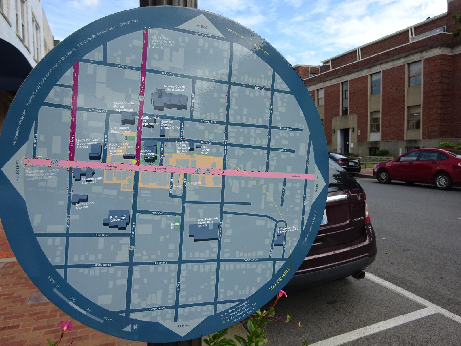 This map has the date of the eclipse at the top so it was probably installed to help eclipse tourists. It uses purple and pink, like the cars which I mentioned. I wonder if they are the town colours. UTC Time: 20:13, Thursday 31 August 2017 Local Time: 15:13, Thursday 31 August 2017 Estimate of longitude: 87° 29' 55.21" W = -87.498670° Estimate of latitude: 37° 19' 41.66" N = 37.328240° Possible error on position estimate: 10 metres | |