| Back to the previous photograph | |
|
| |
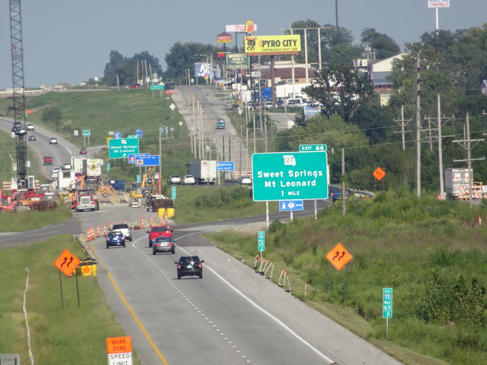 I'm now near the point where the gravel roads separate from the one which I was using. It looks like the problem is that the Interstate bridge over Davis Creek is being repaired so the Interstate traffic has been diverted onto my road. That means that the option of using the Interstate shoulder is probably ruled out because I can't see if it even has one, but it does mean that the problem isn't flooding so the gravel roads should be passable, even though using them will mean that for the second time today it takes me an hour to travel the distance to a sign which I can already read. UTC Time: 22:47, Friday 25 August 2017 Local Time: 17:47, Friday 25 August 2017 Estimate of longitude: 93° 27' 29.41" W = -93.458170° Estimate of latitude: 38° 58' 43.03" N = 38.978620° Possible error on position estimate: 5 metres | |