| Back to the previous photograph | |
|
| |
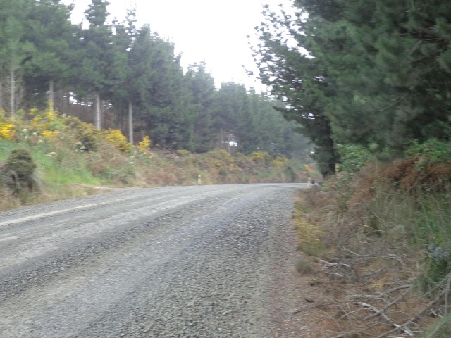
 This is the road which was marked on my map. The map was obviously lying though because having reached the top of a big hill, the road has turned to gravel. Another of today's brief showers came along too but at least this time it wasn't hail. UTC Time: 02:06, Saturday 30 November 2013 Local Time: 15:06, Saturday 30 November 2013 Estimate of longitude: 170° 2' 3.55" E = 170.034320° Estimate of latitude: 46° 8' 52.55" S = -46.147930° Possible error on position estimate: 100 metres | |