| Back to the previous photograph | |
|
| |
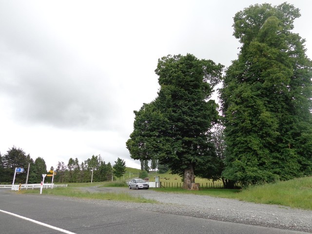
 A map here shows who owned each plot of land in the town. The tree next to my car is in the plot which was owned by the wife of Charles Pemberton, who pioneered the town. I'm trying to work out whether the tree looks old enough to have been there the whole time there was a house there. UTC Time: 22:31, Monday 09 December 2013 Local Time: 11:31, Tuesday 10 December 2013 Estimate of longitude: 175° 52' 0.23" E = 175.866730° Estimate of latitude: 39° 54' 25.09" S = -39.906970° Possible error on position estimate: 100 metres | |