| Back to the previous photograph | |
|
| |
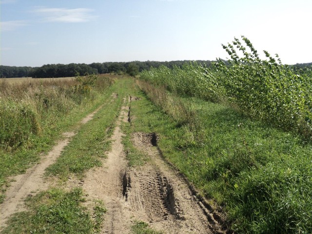
 I passed a few noticeboard with large maps of the cycle routes in this area. I chose to use this one because the main road is busy and quite narrow. It claimed that this route was an old railway but I'm not sure I believe it. UTC Time: 09:16, Friday 26 August 2011 Local Time: 11:16, Friday 26 August 2011 Estimate of longitude: 12° 56' 45.85" E = 12.946070° Estimate of latitude: 53° 32' 14.42" N = 53.537340° Possible error on position estimate: 10 metres | |