| Back to the previous photograph | |
|
| |
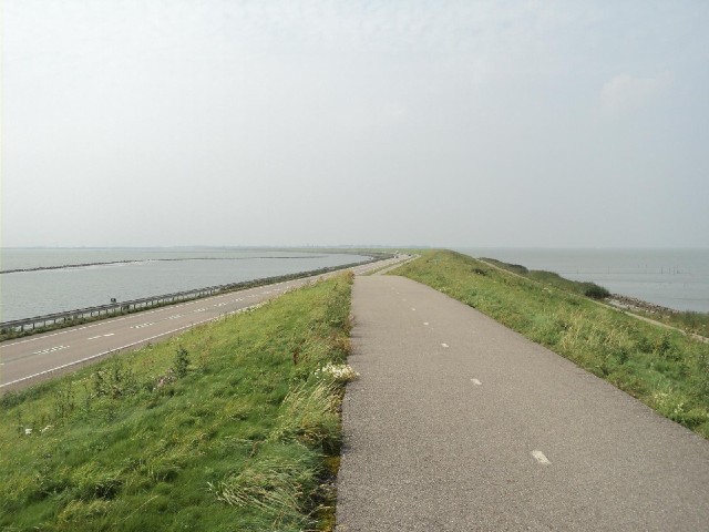
 The view along the Houtribdijk, one of the huge dykes which form the Zuiderzee works. They divided the Zuiderzee into parts, some of which were then drained to form dry land. It was originally planned that Lake Merker, on the left here, should be drained but in the end there wasn't enough need for the land. UTC Time: 13:34, Sunday 21 August 2011 Local Time: 15:34, Sunday 21 August 2011 Estimate of longitude: 5° 21' 53.82" E = 5.364950° Estimate of latitude: 52° 40' 17.94" N = 52.671650° Possible error on position estimate: 100 metres | |