| Back to the previous photograph | |
|
| |
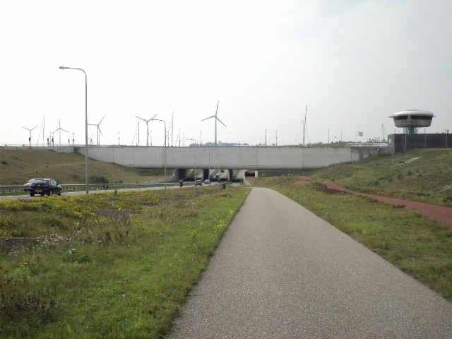
 Here, the road goes under the aqueduct connecting Lake IJssel to Lake Merker. Some of the masts were moving as boats slid through it. UTC Time: 13:21, Sunday 21 August 2011 Local Time: 15:21, Sunday 21 August 2011 Estimate of longitude: 5° 17' 56.72" E = 5.299090° Estimate of latitude: 52° 41' 28.03" N = 52.691120° Possible error on position estimate: 50 metres | |