| Back to the previous photograph | |
|
| |
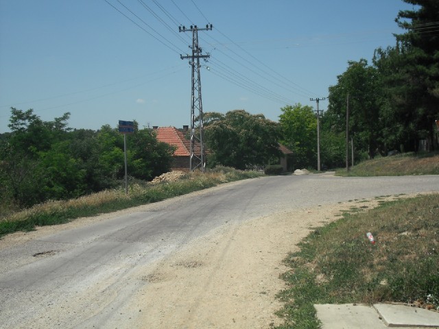
 On the left is one of the signs for the Danube cycle route, which gnerally seems to go by its German name of Donauradweg. I kept expecting the signs to lead me into some village which wasn't on my map and then abandon me but there were signs at almost every little junction like this. I only lost the route when I was bout 20 km from Belgrade and I could find my way from there by just following all the traffic. UTC Time: 11:03, Friday 19 June 2009 Local Time: 13:03, Friday 19 June 2009 Estimate of longitude: 20° 1' 23.96" E = 20.023321° Estimate of latitude: 45° 9' 12.01" N = 45.153337° Possible error on position estimate: 200 metres | |