| Back to the previous photograph | |
|
| |
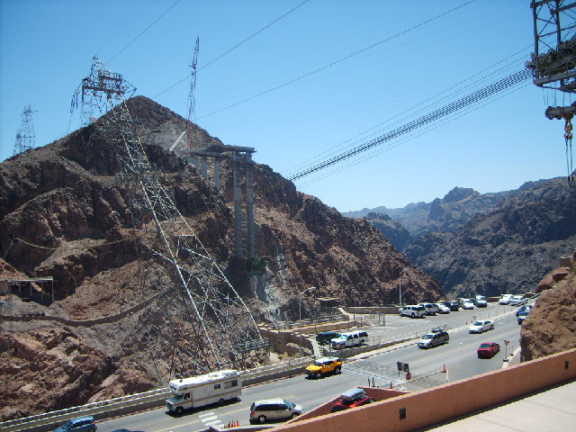
 The dam was built to control the flow of the Colorado river for agricultural purposes but it also generates hydroelectric power. The funny leaning pylons here are for the cables coming up from the generators. The dam also provides a way for traffic to cross the river but the road leading down to it is quite twisty. In the middle of this picture, you can see the start of a new high-level road bridge which will by-pass the dam. UTC Time: 19:46, Tuesday 07 August 2007 Local Time: 12:46, Tuesday 07 August 2007 Estimate of longitude: 114° 44' 26.81" W = -114.740781° Estimate of latitude: 36° 0' 57.26" N = 36.015905° Possible error on position estimate: 10 metres | |