| Back to the previous photograph | |
|
| |
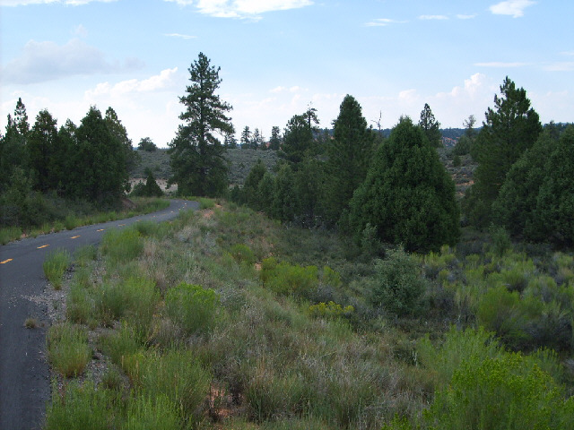
 Here's the Red Canyon cycle path. It was decided that the road here was too dangerous for cyclists so this path was laid along the opposite side of the river. UTC Time: 23:51, Friday 03 August 2007 Local Time: 17:51, Friday 03 August 2007 Estimate of longitude: 112° 16' 44.86" W = -112.279127° Estimate of latitude: 37° 43' 46.71" N = 37.729642° Possible error on position estimate: 100 metres | |