| Back to the previous photograph | |
|
| |
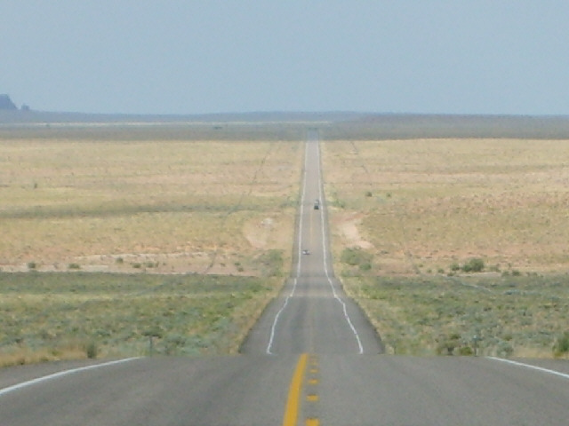
 On Google Earth, this road is visible from an altitude of about 90 km as a black line cutting across the otherwise featureless yellow ground. About half of the vehicles using this road were towing big speedboats. There were signs saying that this was the way to lake Powell but that's a long way from here. UTC Time: 15:24, Wednesday 01 August 2007 Local Time: 09:24, Wednesday 01 August 2007 Estimate of longitude: 110° 28' 49.08" W = -110.480300° Estimate of latitude: 38° 43' 51.14" N = 38.730871° Possible error on position estimate: 2000 metres | |