| Back to the previous photograph | |
|
| |
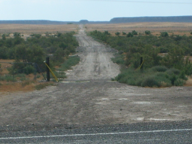
 The map shows that by going 9 miles along that road and crossing several junctions with other similar roads, it would be possible to avoid using the interstate. I'm not going to try it though. I checked a couple of documents from the Utah Department of Transportation this morning and it seems perfectly legal to ride on the interstate. I'll have to do so in a few days anyway so I might as well find out what it's like now. UTC Time: 00:04, Wednesday 01 August 2007 Local Time: 18:04, Tuesday 31 July 2007 Estimate of longitude: 109° 48' 32.91" W = -109.809143° Estimate of latitude: 38° 52' 2.18" N = 38.867272° Possible error on position estimate: 10 metres | |