| Back to the previous photograph | |
|
| |
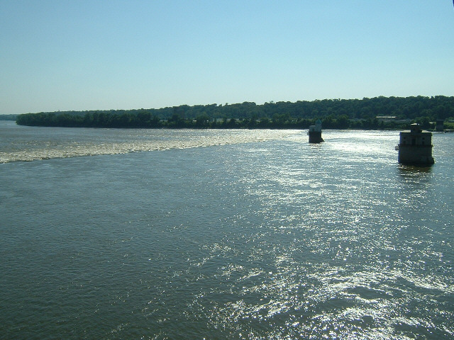
 The view from the bridge. The weir is a rock-fill dam. The two buildings are intakes for the city's water supply, located in the cleanest, fastest-moving part of the river. UTC Time: 21:58, Saturday 14 July 2007 Local Time: 16:58, Saturday 14 July 2007 Estimate of longitude: 90° 10' 16.96" W = -90.171379° Estimate of latitude: 38° 45' 32.53" N = 38.759037° Possible error on position estimate: 100 metres | |