| Back to the previous photograph | |
|
| |
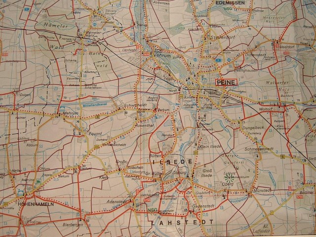
 I bought this map in a petrol station. It's designed for cyclists but is a little confusing at first. The quieter a road is, the more prominent it is on the map. If a road has dots along the side, it means it has a separate cyle path. The thin purple lines are bridleways. If you look carefully, you can just about see the A2 autobahn as a feint grey double line beginning in the top left corner. UTC Time: 20:30, Sunday 06 August 2006 Local Time: 22:30, Sunday 06 August 2006 Estimate of longitude: 9° 44' 5.92" E = 9.734978° Estimate of latitude: 52° 23' 46.58" N = 52.396272° Possible error on position estimate: 10 metres | |