| Back to the previous photograph | |
|
| |
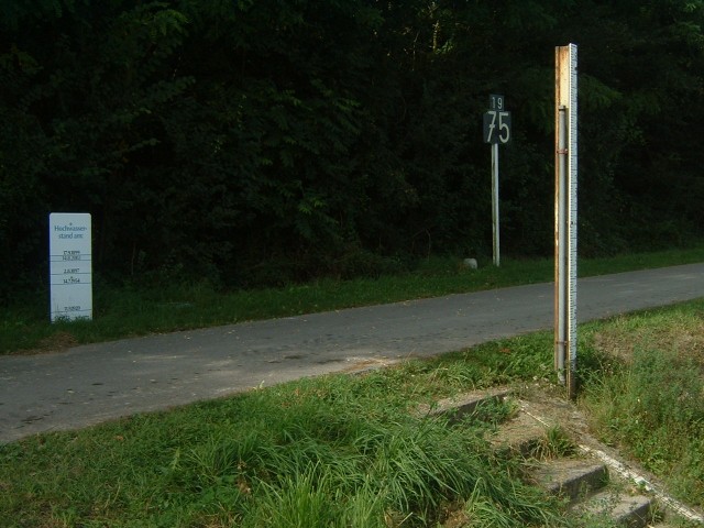
 1975 km from the sea and therefore 434 km downstream from the marker I photographed near Kelheim. The ruler on the right shows the river level. Some flood markings are shown on the board on the left. The top one is from 1899 but the 2002 flood is close behind it. UTC Time: 08:10, Saturday 10 September 2005 Local Time: 10:10, Saturday 10 September 2005 Estimate of longitude: 15° 54' 11.07" E = 15.903076° Estimate of latitude: 48° 20' 58.91" N = 48.349698° Possible error on position estimate: 2000 metres | |