| Back to the previous photograph | |
|
| |
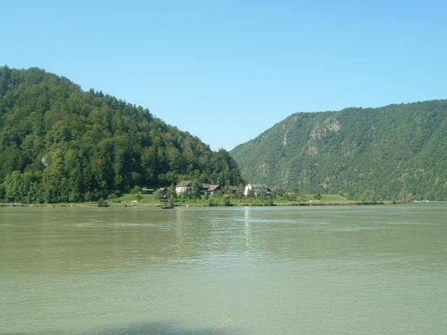
 For the next 26 km, the valley becomes rather twisting and steep-sided. The main road leaves the river and heads over a few hills, whereas the cycleway clings to the south side of the river. Although the road is shorter, the cycleway is flat and mainly in the shade. UTC Time: 12:55, Thursday 08 September 2005 Local Time: 14:55, Thursday 08 September 2005 Estimate of longitude: 13° 52' 22.16" E = 13.872822° Estimate of latitude: 48° 25' 30.01" N = 48.425004° Possible error on position estimate: 100 metres | |