| Back to the previous photograph | |
|
| |
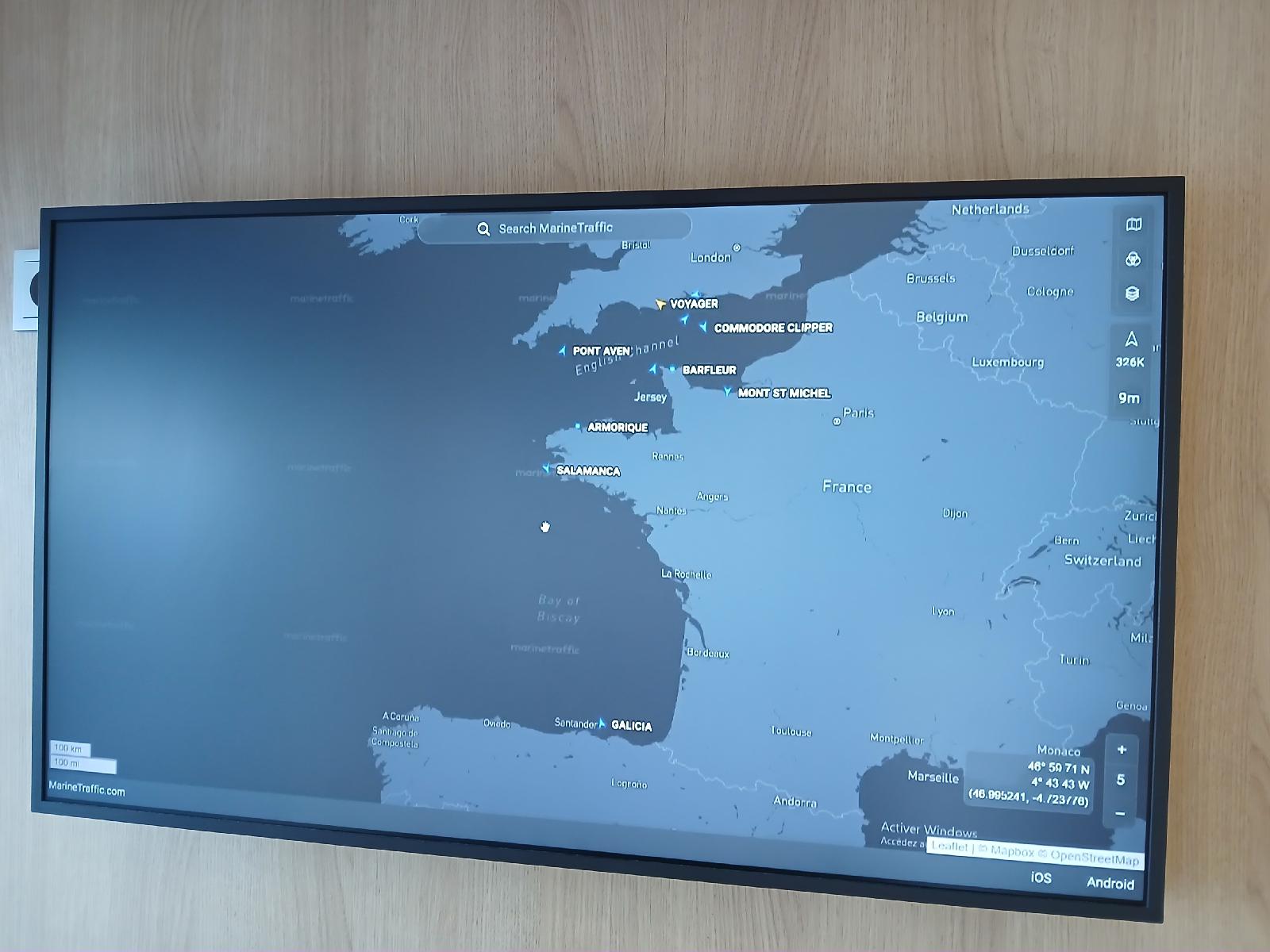 This map in one of the seating areas shows where all of Brittany Ferries' ships are. It would be better though if it didn't have the mouse cursor sitting in the middle of the screen looking more obvious than any of the ships, in a place close to where we will be in a few hours. UTC Time: 12:24, Tuesday 11 August 2026 Local Time: 13:24, Tuesday 11 August 2026 Estimate of longitude: 4° 43′ 48.18″ W = -4.730050° Estimate of latitude: 47° 58′ 57.32″ N = 47.982590° Possible error on position estimate: 50 metres | |