| Back to the previous photograph | |
|
| |
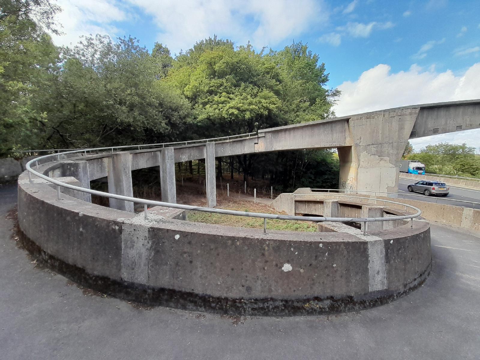 This bridge over the M4 is colloquially known as the Curly Wurly Bridge. I don't know why it has a loop on this side though. It comes down and then goes back up again. The end of the bridge could just have been connected directly to the path without it being any steeper. UTC Time: 11:16, Thursday 10 September 2026 Local Time: 12:16, Thursday 10 September 2026 Estimate of longitude: 1° 44′ 35.52″ W = -1.743200° Estimate of latitude: 51° 31′ 45.01″ N = 51.529170° Possible error on position estimate: 5 metres | |