| Back to the previous photograph | |
|
| |
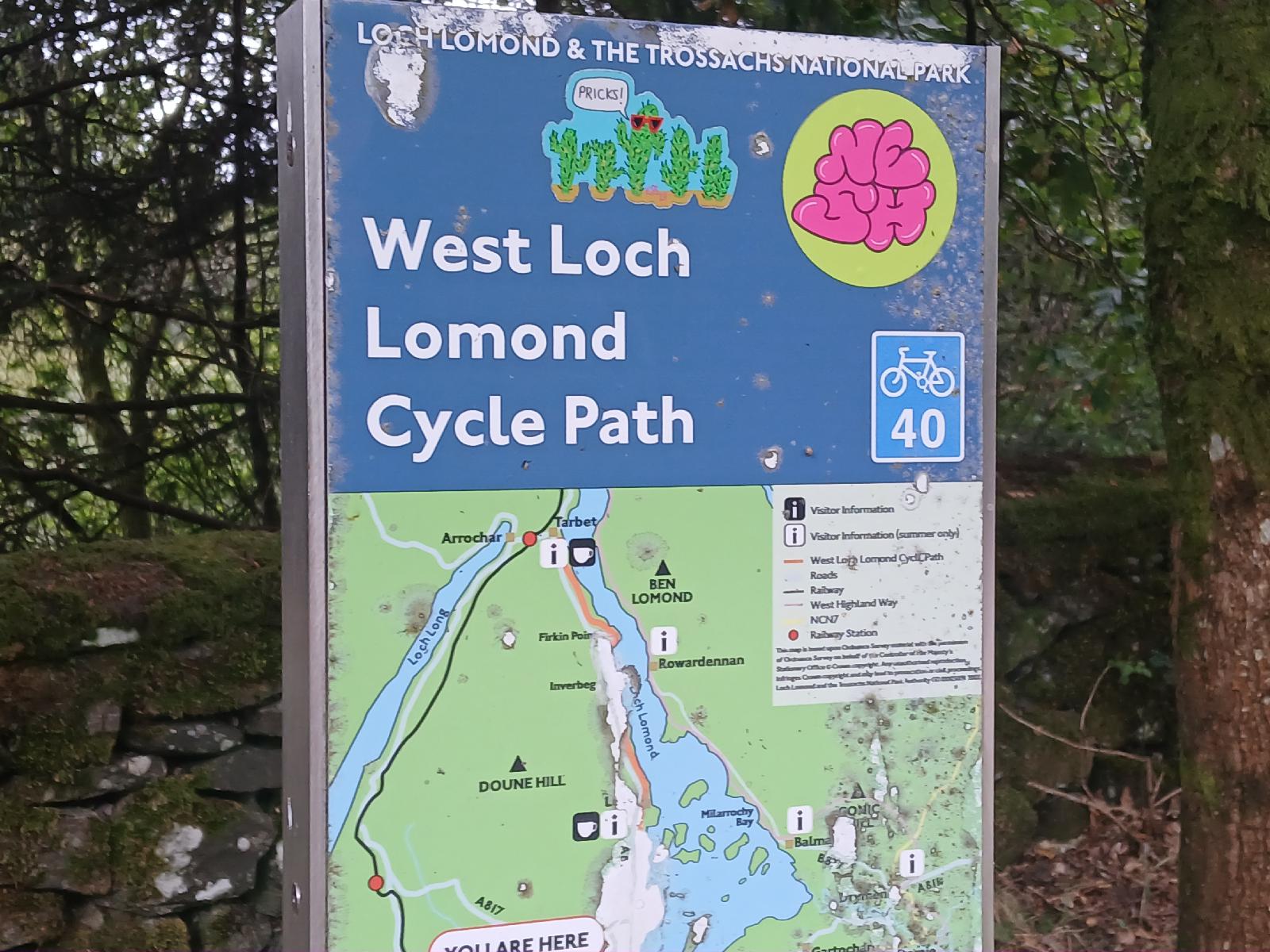 Here's a map confirming that the cycle path will run all the way to tonight's hotel at Tarbet. I spent a while trying to work out what NESH stood for before realising that the big emblem in the top right was probably just an irrelevant sticker which somebody had stuck on the sign. I certainly don't think the sticker saying "PRICKS!" is part of the official sign. UTC Time: 14:10, Tuesday 19 August 2025 Local Time: 15:10, Tuesday 19 August 2025 Estimate of longitude: 4° 38′ 40.99″ W = -4.644720° Estimate of latitude: 56° 4′ 1.85″ N = 56.067180° Possible error on position estimate: 5 metres | |