| Back to the previous photograph | |
|
| |
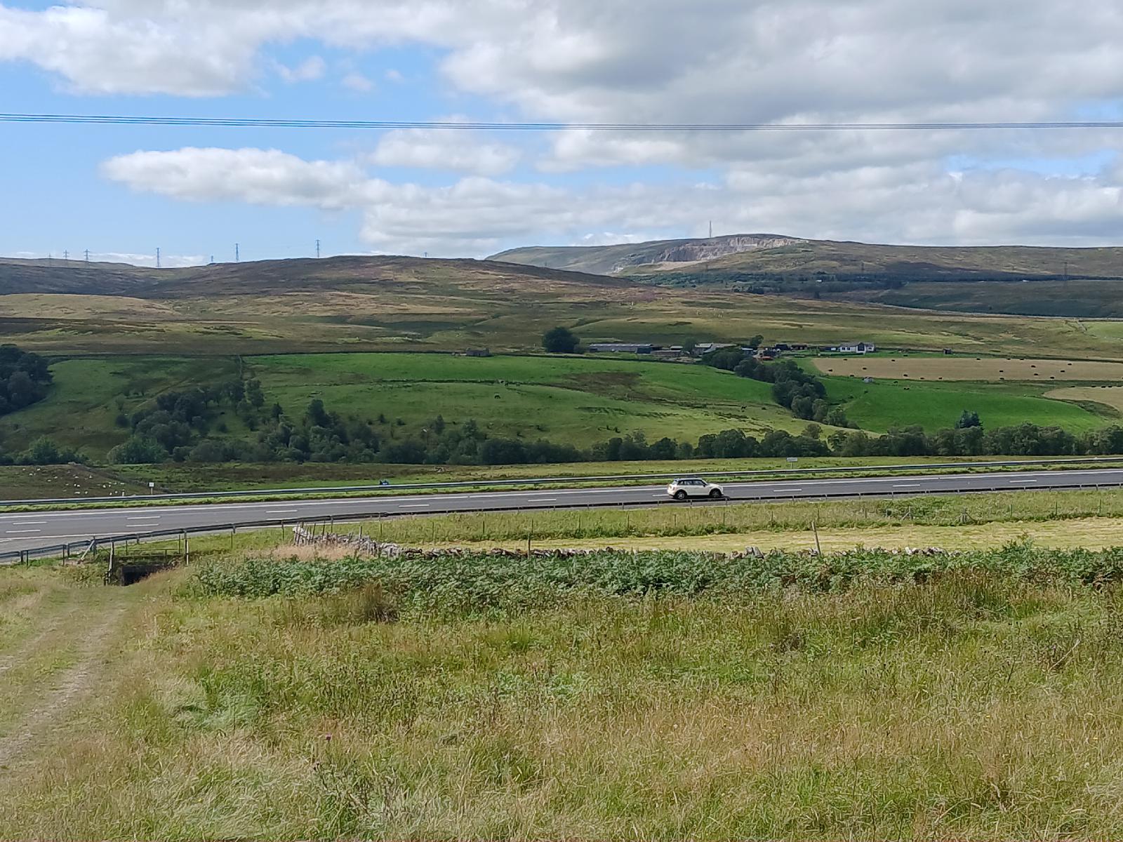 Now the motorway carriageways have separated again and I'm using a quiet road which runs along between them. In the distance in this picture is a line of dark trees running to the right from near the bottom of the quarry. That's the A6, which I will be joining close to Shap summit. UTC Time: 12:34, Friday 15 August 2025 Local Time: 13:34, Friday 15 August 2025 Estimate of longitude: 2° 37′ 53.94″ W = -2.631650° Estimate of latitude: 54° 28′ 23.77″ N = 54.473270° Possible error on position estimate: 10 metres | |