| Back to the previous photograph | |
|
| |
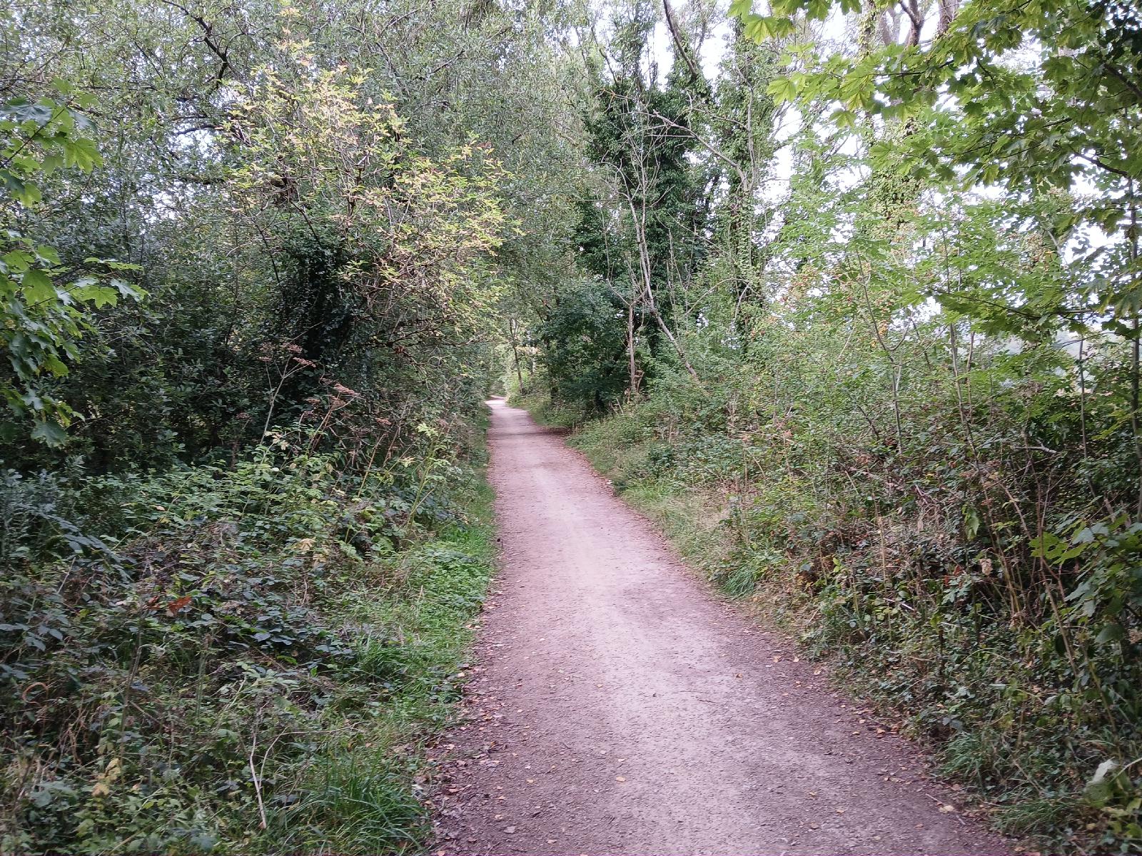 The railway line initially rose to cross the watershed again back to the realm of West-draining rivers. After that, it's steadily downhill for the remainder of the day, losing about 100 metres of height in 10 km. I hardly had to pedal at all that whole way. UTC Time: 16:39, Monday 11 August 2025 Local Time: 17:39, Monday 11 August 2025 Estimate of longitude: 2° 10′ 11.42″ W = -2.169840° Estimate of latitude: 53° 8′ 8.77″ N = 53.135770° Possible error on position estimate: 200 metres | |