| Back to the previous photograph | |
|
| |
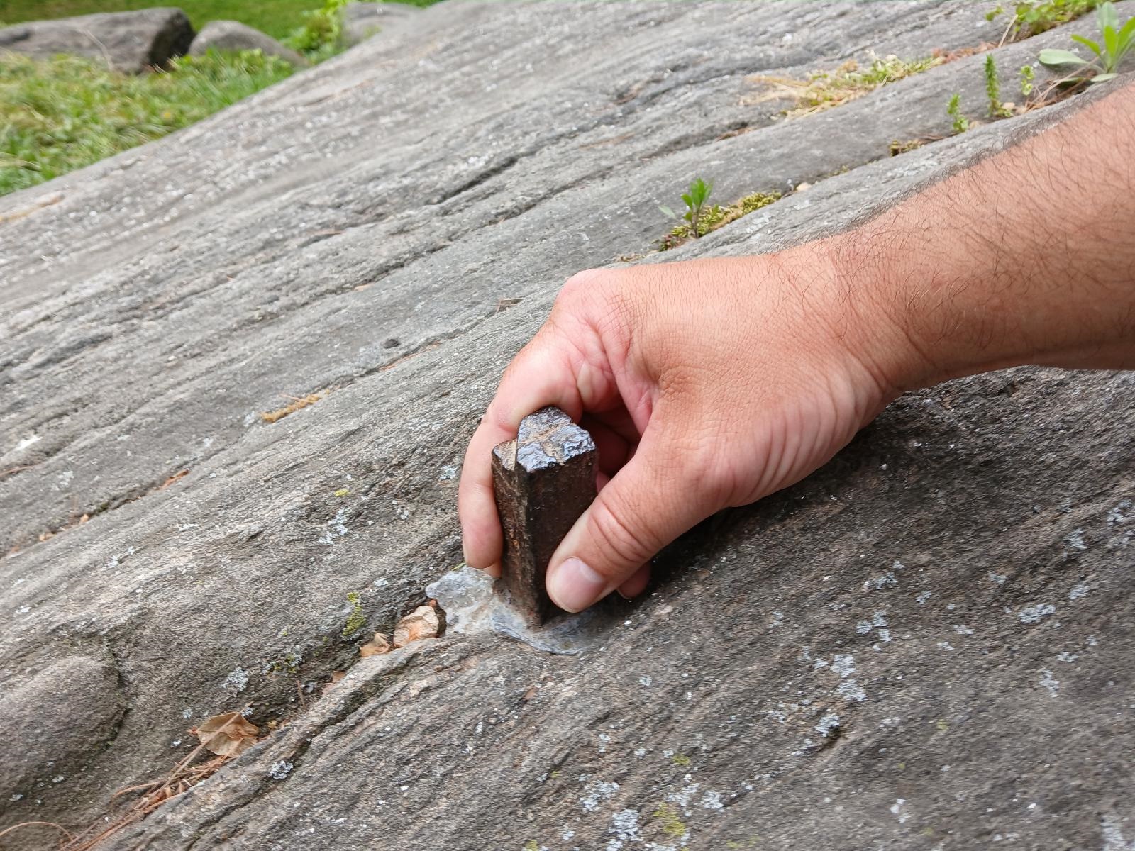 Manhattan's grid of streets was planned out by John Randel Jr. between 1808 and 1811. After that he spent several years driving over 1000 metal spikes into the ground to mark where all the crossroads would be. Then in the 1840s it was decided that there would be a huge park in the middle of the island, covering the equivalent of 153 city blocks, so the none of crossroads between 6th and 7th Avenues and 60th to 109th streets actually exist. I had heard that the spike at one of those locations still exists but that there is a convention that people who have found it don't share its location. This morning I happened across a podcast which I had heard once before, which gave enough information to narrow down the number of possible locations from 100 to just 18. I didn't have any serious intention of going to look for it but I decided to search for pictures of it anyway just in case I changed my mind. The first search result repeated the statement that people don't divulge its location, but then in the same sentence specified exactly which street and avenue it is on. The pictures showed enough nearby landmarks that it looked like it would probably be easy to find. I still wasn't planning on coming back to Central Park but after leaving the bookshop I didn't want to just retrace my route to the hotel so here I am. UTC Time: 20:46, Saturday 04 May 2024 Local Time: 16:46, Saturday 04 May 2024 Estimate of longitude: 73° 58′ 12.00″ W = -73.970000° Estimate of latitude: 40° 46′ 12.00″ N = 40.770000° Possible error on position estimate: 1000 metres | |