| Back to the previous photograph | |
|
| |
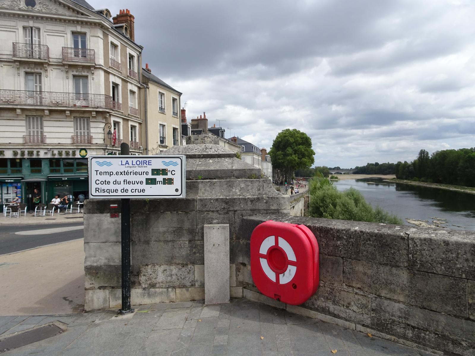 This sign gives the river temperature and also gives its height as -1.2 metres. I don't know whether that's relative to its normal level or relative to where it would start to flood. I learned today that sailing ships couldn't go up the Seine to Paris because it's too twisty. The Loire is much straighter so Orleans became the main port for Paris. UTC Time: 12:43, Sunday 14 August 2022 Local Time: 14:43, Sunday 14 August 2022 Estimate of longitude: 1° 54' 15.73" E = 1.904370° Estimate of latitude: 47° 53' 52.73" N = 47.897980° Possible error on position estimate: 5 metres | |