| Back to the previous photograph | |
|
| |
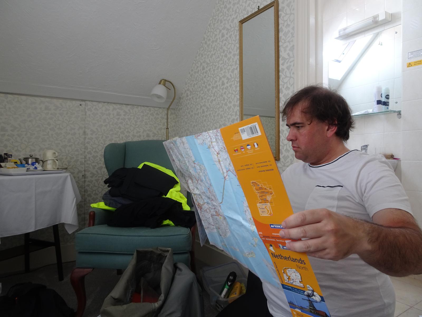 I haven't bothered to create precise maps of tomorrow's route like I normally do because Dutch cycle route signs are pretty good, I should have Internet access on my phone and I thought I had a paper map of the area. However, I've just realised that one of the problems with my decision not to plan where I was going until I had already started is that the map that I've brought doesn't cover any part of what is now my intended route. UTC Time: 09:01, Saturday 10 August 2019 Local Time: 10:01, Saturday 10 August 2019 Estimate of longitude: 1° 9' 4.97" E = 1.151380° Estimate of latitude: 51° 47' 18.13" N = 51.788370° Possible error on position estimate: 20 metres | |