| Back to the previous photograph | |
|
| |
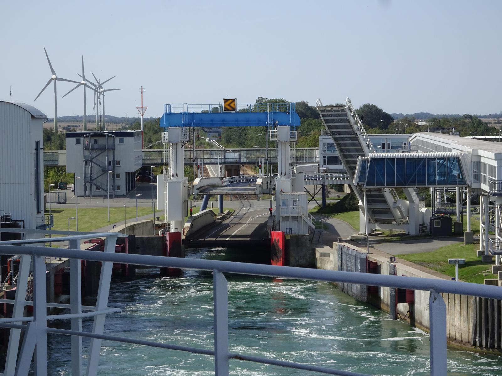 Here's what they look like from the other side of the ship. They use Moirť interference patterns so that wherever you see them from, they form arrows showing you which way to go to get onto the centre line. Here's an explanation. UTC Time: 08:48, Thursday 22 August 2019 Local Time: 10:48, Thursday 22 August 2019 Estimate of longitude: 11į 13' 46.92" E = 11.229700į Estimate of latitude: 54į 30' 16.63" N = 54.504620į Possible error on position estimate: 20 metres | |