| Back to the previous photograph | |
|
| |
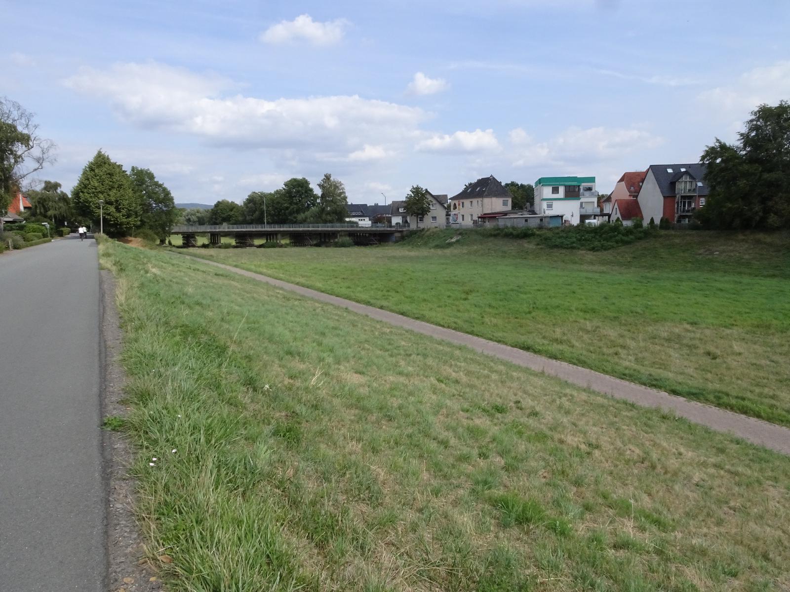 That's odd. I was riding along the edge of the river. The the cycle route took me round a few houses and when I got back, all the water had gone. A look at the map shows that the river has changed its course over time and now passes on the other side of those houses on the right. The strange thing is that its current course is the longer and more wiggly of the two. UTC Time: 12:20, Friday 16 August 2019 Local Time: 14:20, Friday 16 August 2019 Estimate of longitude: 8° 48' 0.90" E = 8.800250° Estimate of latitude: 52° 12' 43.99" N = 52.212220° Possible error on position estimate: 5 metres | |