| Back to the previous photograph | |
|
| |
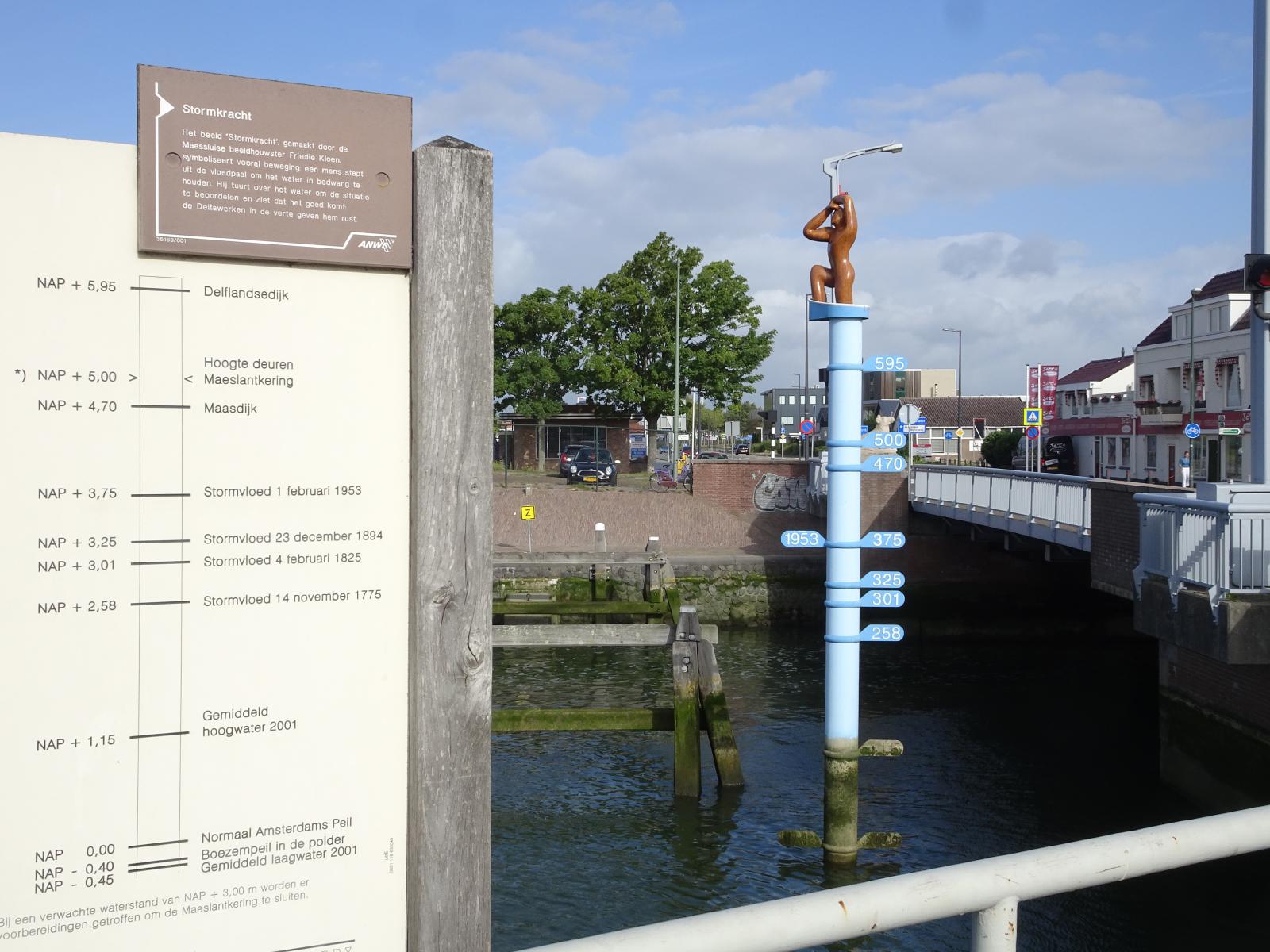 The lower markings are all historical flood levels, with the 1953 flood which was commemorated in Harwich being the highest of them. The markers above those show the heights of some flood defences. UTC Time: 07:31, Sunday 11 August 2019 Local Time: 09:31, Sunday 11 August 2019 Estimate of longitude: 4° 14' 58.92" E = 4.249700° Estimate of latitude: 51° 55' 6.56" N = 51.918490° Possible error on position estimate: 5 metres | |