| Back to the previous photograph | |
|
| |
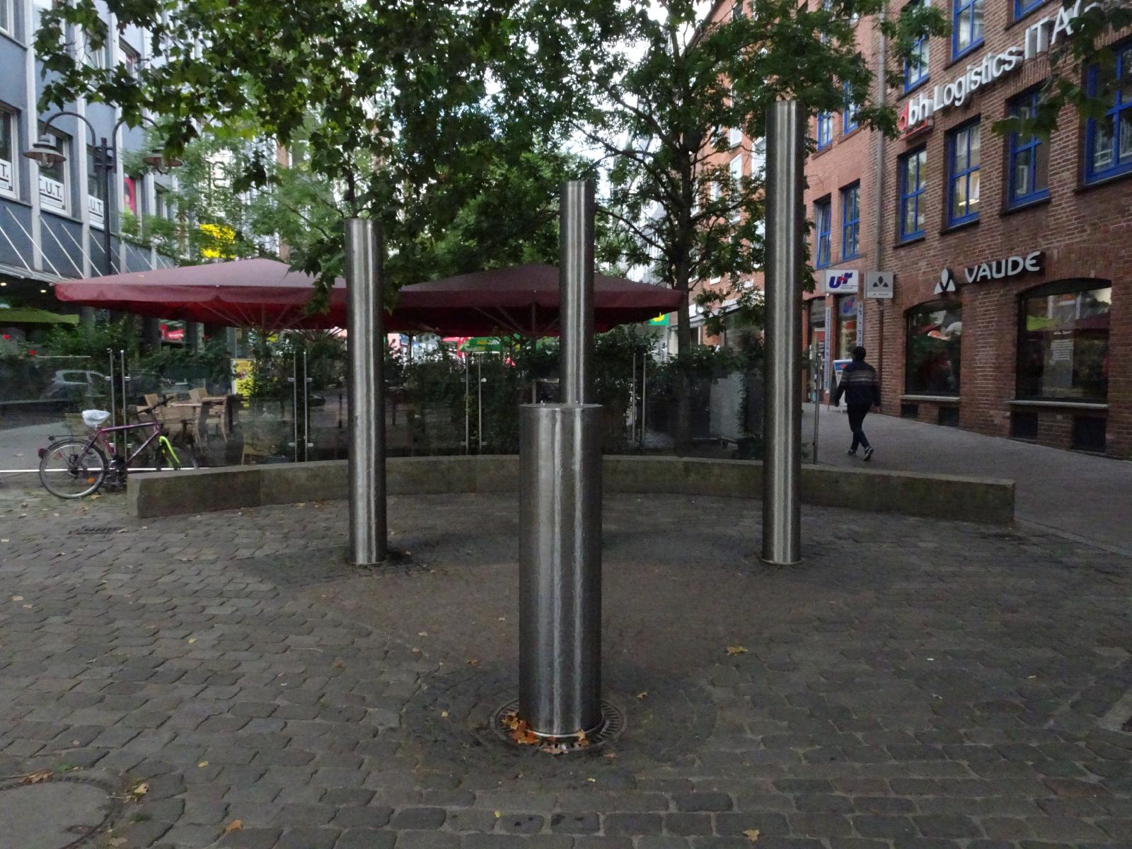 The columns all have water running down them. A plaque nearby explains that they represent something to do with high and low tide. UTC Time: 13:09, Monday 02 September 2019 Local Time: 15:09, Monday 02 September 2019 Estimate of longitude: 8° 48' 11.41" E = 8.803170° Estimate of latitude: 53° 4' 38.03" N = 53.077230° Possible error on position estimate: 10 metres | |