| Back to the previous photograph | |
|
| |
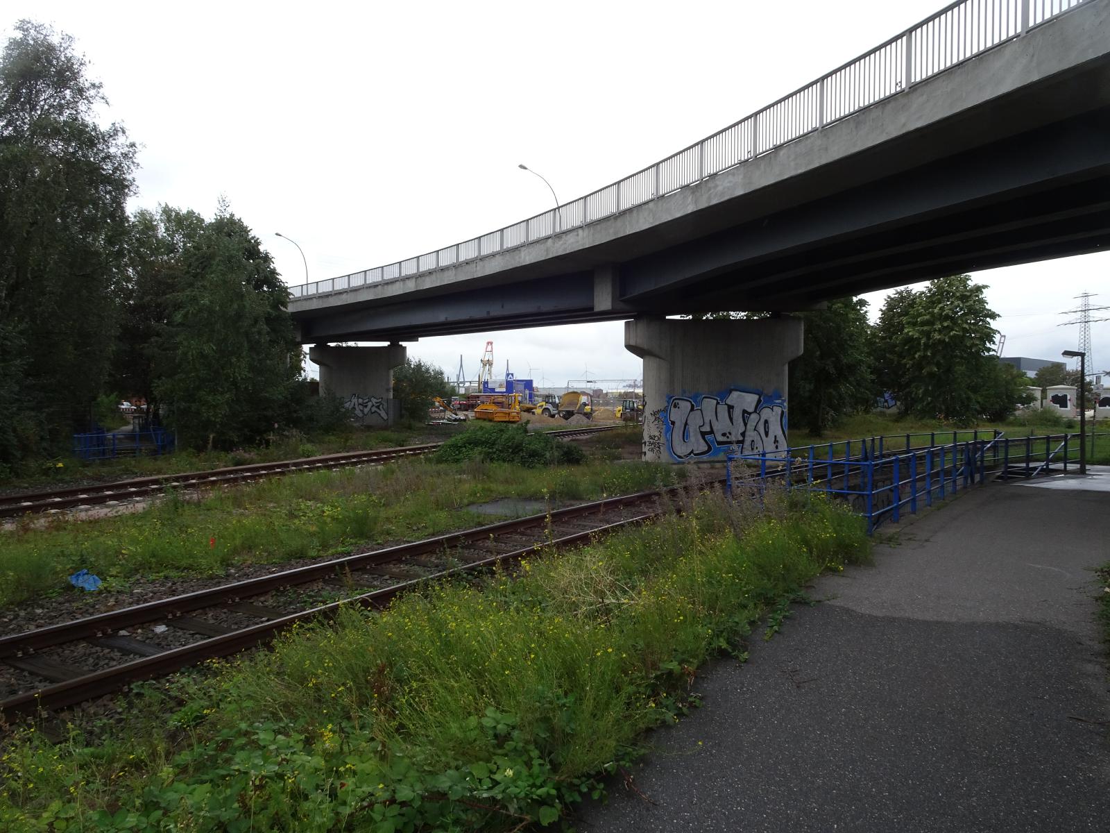 I followed what looked like the only possible route, which brought me to near here. Then I checked the map and saw where I should have gone so I went back there and looked. There was a lot of construction equipment around, visible in the middle of this picture, although none of it was being used because it's Sunday. Signs said that the road was closed. I could see that I could have actually got through the first hundred metres or so but the road heads down a narrow strip of land between two docks so I didn't want to start going that way if there was a risk that it could be closed further along. I came back to here because there's a signpost near here so I decided to follow that instead of the map. What seemed like the obvious route led to the concrete wall in the previous picture. The only other way the sign could have been pointing is down the steps behind the blue handrail. I'm going to go down there but I can already see that they will bring me to the other end of the short section or roadworks which I know I could have just ridden through. I will just be using this tunnel to go under two railway lines which I have already crossed three times by just riding across the tracks. UTC Time: 10:40, Sunday 01 September 2019 Local Time: 12:40, Sunday 01 September 2019 Estimate of longitude: 9° 58' 29.06" E = 9.974740° Estimate of latitude: 53° 31' 39.14" N = 53.527540° Possible error on position estimate: 100 metres | |