| Back to the previous photograph | |
|
| |
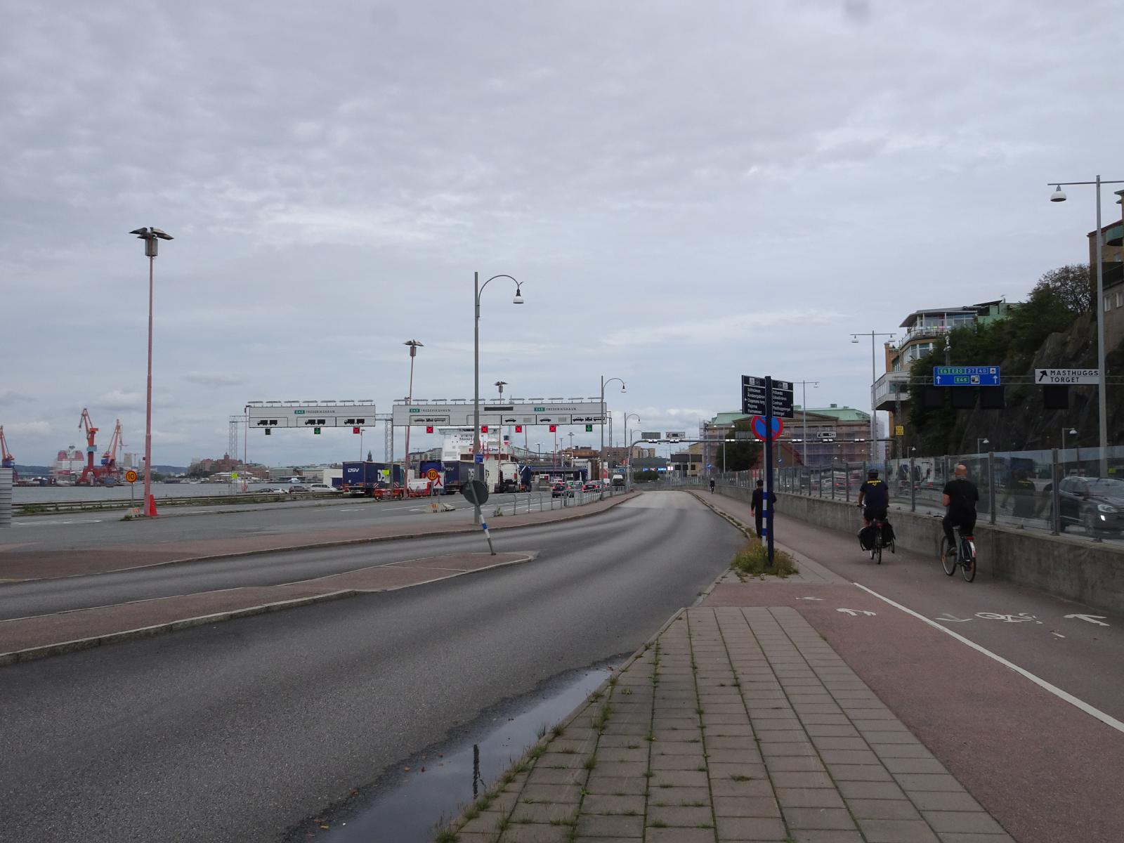 The road, the cyle lane and the ferry terminal are all squeezed into the narrow strip of land between the rocks and the sea. UTC Time: 12:58, Friday 30 August 2019 Local Time: 14:58, Friday 30 August 2019 Estimate of longitude: 11° 56' 0.56" E = 11.933490° Estimate of latitude: 57° 42' 0.22" N = 57.700060° Possible error on position estimate: 5 metres | |