| Back to the previous photograph | |
|
| |
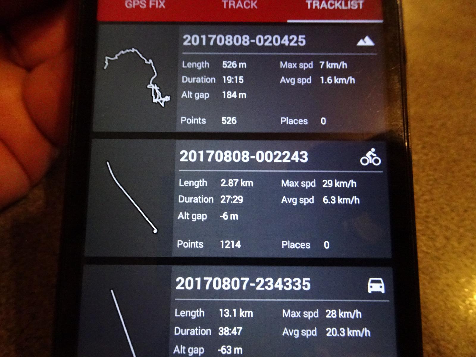 The GPS logger has now introduced a mountain symbol, for when it goes wrong and thinks I climbed 184 metres in a distance of 526 metres. Strangley, I ran it twice on the plane on the way over here and it gave one track a plane smbol and the other a car symbol. UTC Time: 02:26, Tuesday 08 August 2017 Local Time: 20:26, Monday 07 August 2017 Estimate of longitude: 113° 17' 47.72" W = -113.296590° Estimate of latitude: 43° 38' 0.02" N = 43.633340° Possible error on position estimate: 5 metres | |