| Back to the previous photograph | |
|
| |
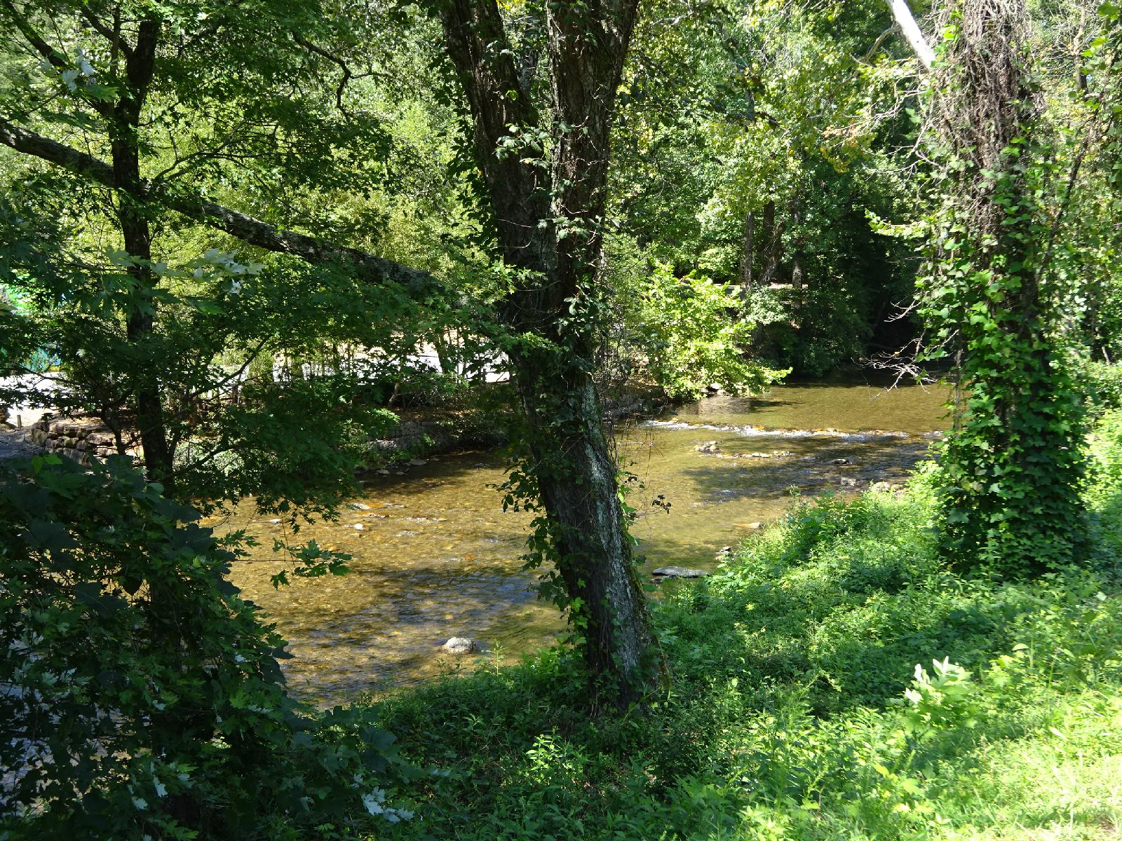 I'm going downstream again. This is the early stage of the Apalachicola River, which flows to the Gulf of Mexico. It would be at some unremarkable ridge later in the day that I would cross into the region where rivers drain to the East coast. UTC Time: 17:19, Friday 08 September 2017 Local Time: 13:19, Friday 08 September 2017 Estimate of longitude: 83° 44' 43.87" W = -83.745520° Estimate of latitude: 34° 42' 49.03" N = 34.713620° Possible error on position estimate: 10 metres | |