| Back to the previous photograph | |
|
| |
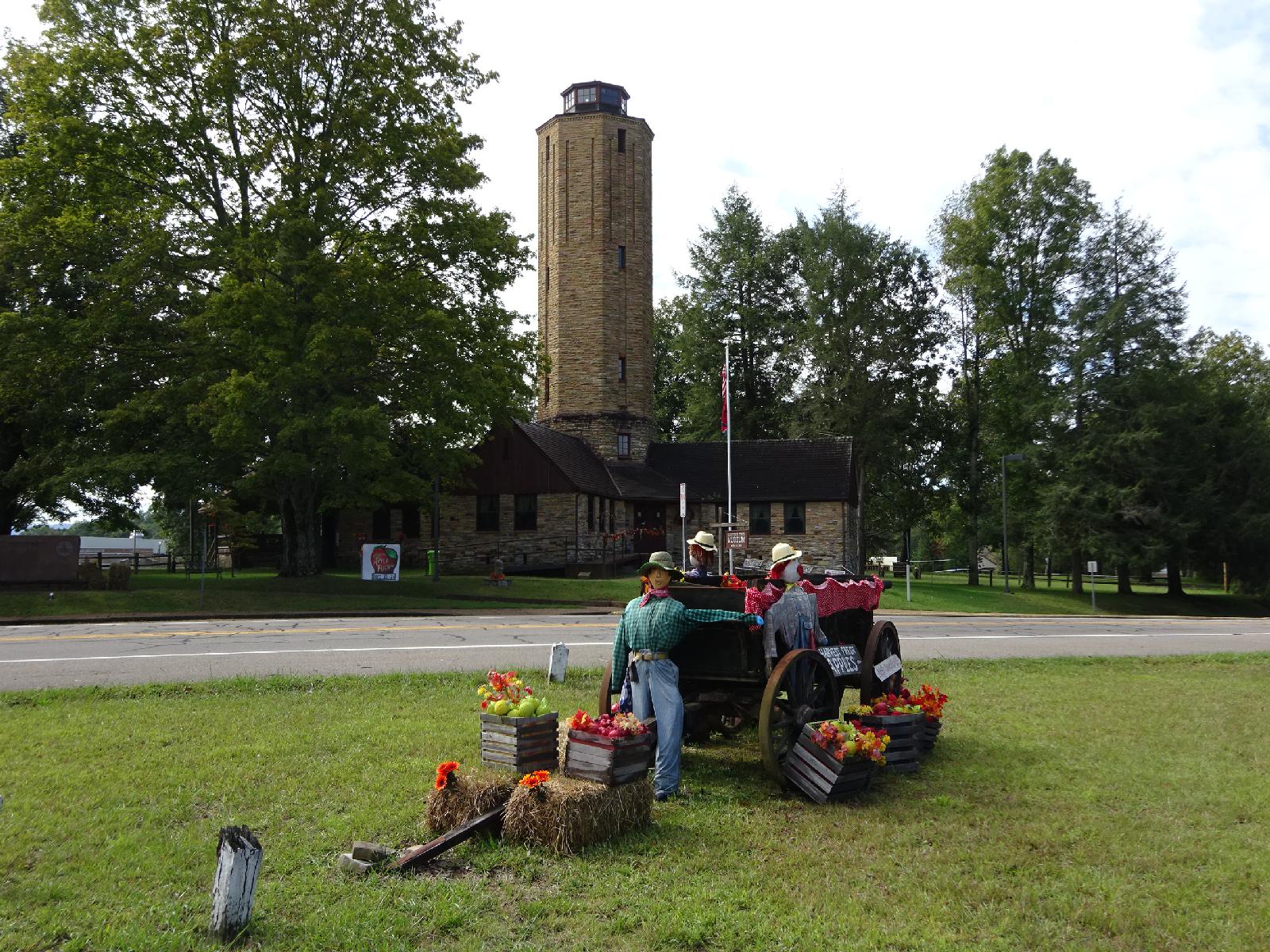 The building was originally a water tower and the administrative offices of the Cumberland Homesteads, a community founded as part of the New Deal of the 1930s. It is now a museum. UTC Time: 15:01, Wednesday 06 September 2017 Local Time: 10:01, Wednesday 06 September 2017 Estimate of longitude: 84° 59' 5.39" W = -84.984830° Estimate of latitude: 35° 54' 17.82" N = 35.904950° Possible error on position estimate: 10 metres | |