| Back to the previous photograph | |
|
| |
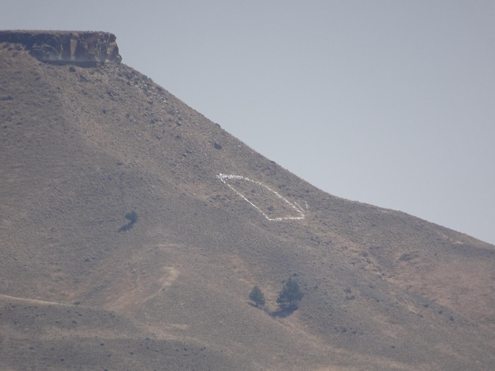 I saw letters like this on my previous American trip. They represent the names of towns. This one is for Dayville. I think they are to aid air navigation. UTC Time: 19:10, Wednesday 02 August 2017 Local Time: 12:10, Wednesday 02 August 2017 Estimate of longitude: 119° 33' 5.44" W = -119.551510° Estimate of latitude: 44° 28' 41.66" N = 44.478240° Possible error on position estimate: 5 metres | |