| Back to the previous photograph | |
|
| |
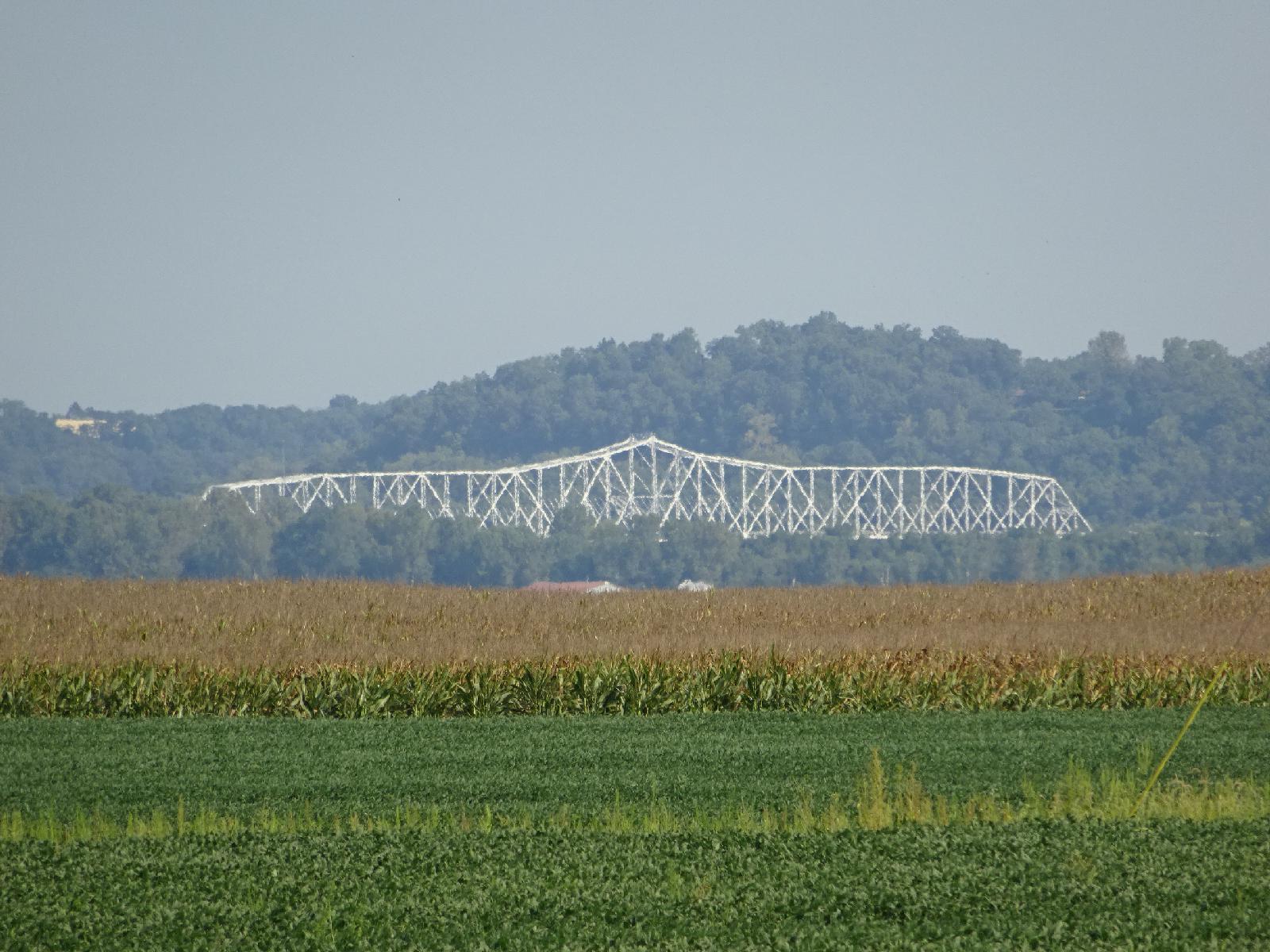 I had originally intended to cross the Mississippi using the Bill Emerson Memorial Bridge, which has a full-width shoulder labelled as a bike lane. I'm now trying to make up for the delay caused by the broken pedal though so instead I'm taking a shorter route using this, the Chester Bridge. I still plan to cross the Ohio River at Shawneetown. 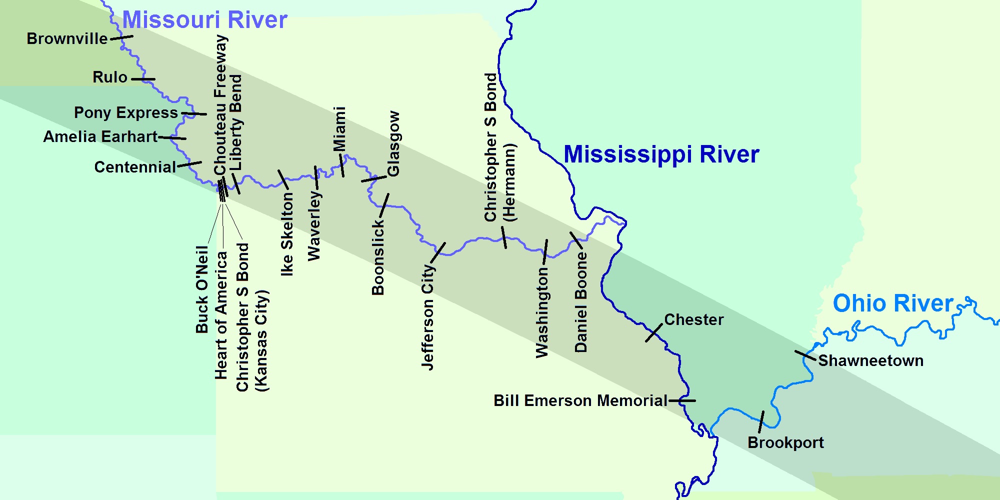 UTC Time: 14:47, Wednesday 30 August 2017 Local Time: 09:47, Wednesday 30 August 2017 Estimate of longitude: 89° 49' 57.86" W = -89.832740° Estimate of latitude: 37° 51' 16.09" N = 37.854470° Possible error on position estimate: 5 metres | |