| Back to the previous photograph | |
|
| |
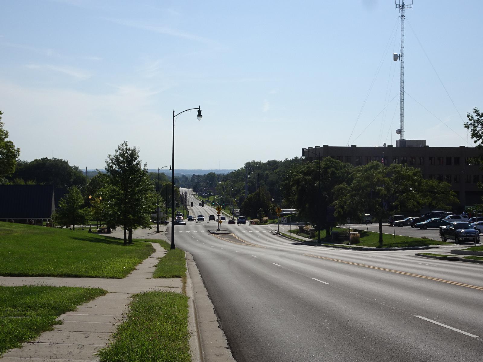 Independence was a key point on my trip. Just as hisorically, it was the beginning of the trail for settlers migrating to Oregon, for me it was the end of my well-planned journey from Oregon. I booked my accommodation for the nights areound the eclipse over a year ago because I thought rooms would sell out. Then, a few months ago, I booked all the nights prior to that, to ensure that I could move the necessary distance each day to reach those eclipse hotels. From here on though, I didn't book anything and the density of towns and roads has now increased sufficiently that I have quite a choice of routes. Crossing the state of Missouri will probably be quite simple though and I've got some idea what to expect. This diagram shows that on my 2007 trip, when I was going from East to West, I came across Illinois on highway 40, which runs alongside the I-70 motorway. Then I wiggled through the suburbs of St. Louis onto the Katy Trail, the cycleway along the course of part of the old Missouri-Kansas-Texas railway, before switching to the old route 66. This time, coming from the West, I intend to use highway 40 again, which is still alongside I-70, then switch to the Katy trail. I plan to leave the Trail at about the same place as I did in 2007 and then head down to the Bill Emerson Memorial Bridge to cross the Mississippi. Sadly, the Chain of Rocks Bridge, the pedestrian and bicycle bridge which I used last time, is just outside the path of totality. 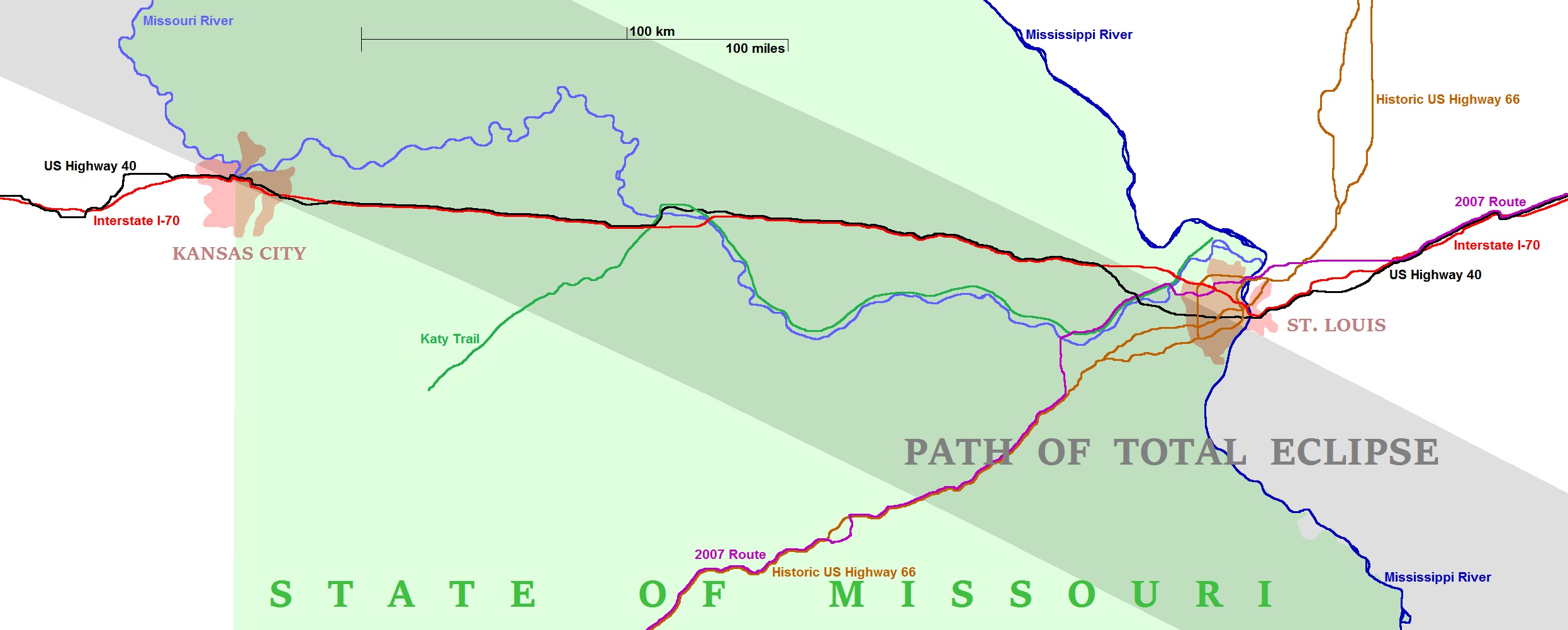 I have now booked hotels for the next two nights, as a result of which I can now make two predictions. Firstly, I will actually be crossing the Missouri River six times, not four. Secondly, I'll be going in a lift again on Saturday night and Sunday morning. I used the lift at the hotel here in Independence for a second time yesterday because the hotel owner was watching so I would have felt silly wheeling my bike round to the hotel's other entrance, going down the stairs and then wheeling it through the corridors. Having used three lifts now, I'm losing interest in trying to minimise their use in the future. I displaced myself by 1513 km from Newport, Oregon to Douglas, Wyoming without power. I know I can't beat that on this trip because the distance from here to the end point is less than that. UTC Time: 14:40, Friday 25 August 2017 Local Time: 09:40, Friday 25 August 2017 Estimate of longitude: 94° 24' 53.75" W = -94.414930° Estimate of latitude: 39° 5' 37.75" N = 39.093820° Possible error on position estimate: 10 metres | |