| Back to the previous photograph | |
|
| |
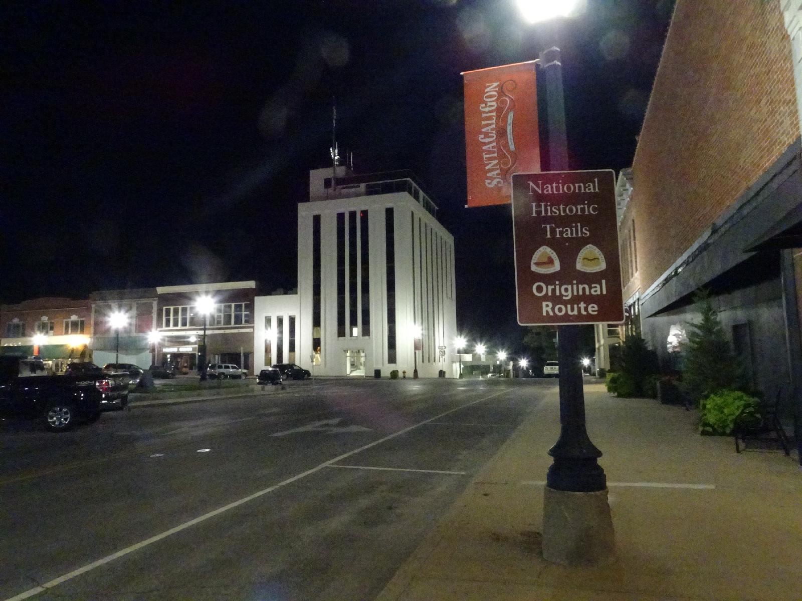 This sign marks the California Trail and Santa Fe Trail but doesn't mention the Oregon Trail. All of them started here in Independence. I have now done something approximating the entire route of the Oregon Trail but going the wrong way. UTC Time: 02:11, Thursday 24 August 2017 Local Time: 21:11, Wednesday 23 August 2017 Estimate of longitude: 94° 25' 17.98" W = -94.421660° Estimate of latitude: 39° 5' 33.76" N = 39.092710° Possible error on position estimate: 2000 metres | |