| Back to the previous photograph | |
|
| |
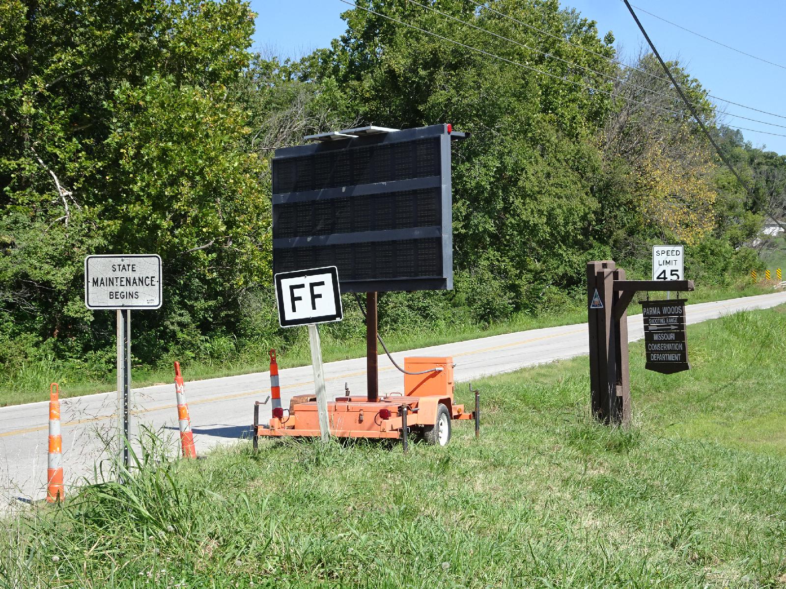 I remember this from 2007: instead of having numbers, the state highways in Missouri are each identified by either a letter or a double letter. My map labels state highways using the two-letter state code and then the road designation, such as "NE2", which means that this one is "MOFF". UTC Time: 20:50, Wednesday 23 August 2017 Local Time: 15:49, Wednesday 23 August 2017 Estimate of longitude: 94° 43' 23.16" W = -94.723100° Estimate of latitude: 39° 11' 47.18" N = 39.196440° Possible error on position estimate: 10 metres | |